Storm Chasing Season 2026 USA Tornado Alley
Images and videos from American Plains storm chasing season 2026
TheStorm Chasing Season 2026has already delivered legendary moments … follow Live ! on YT and FB
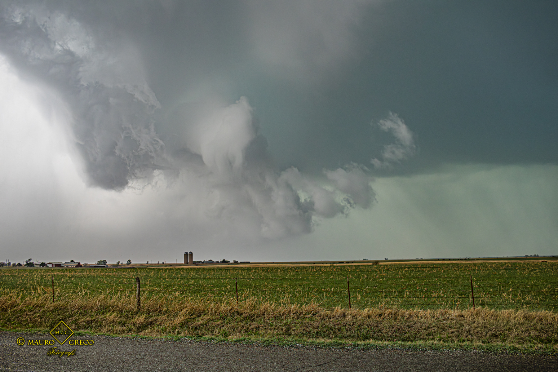
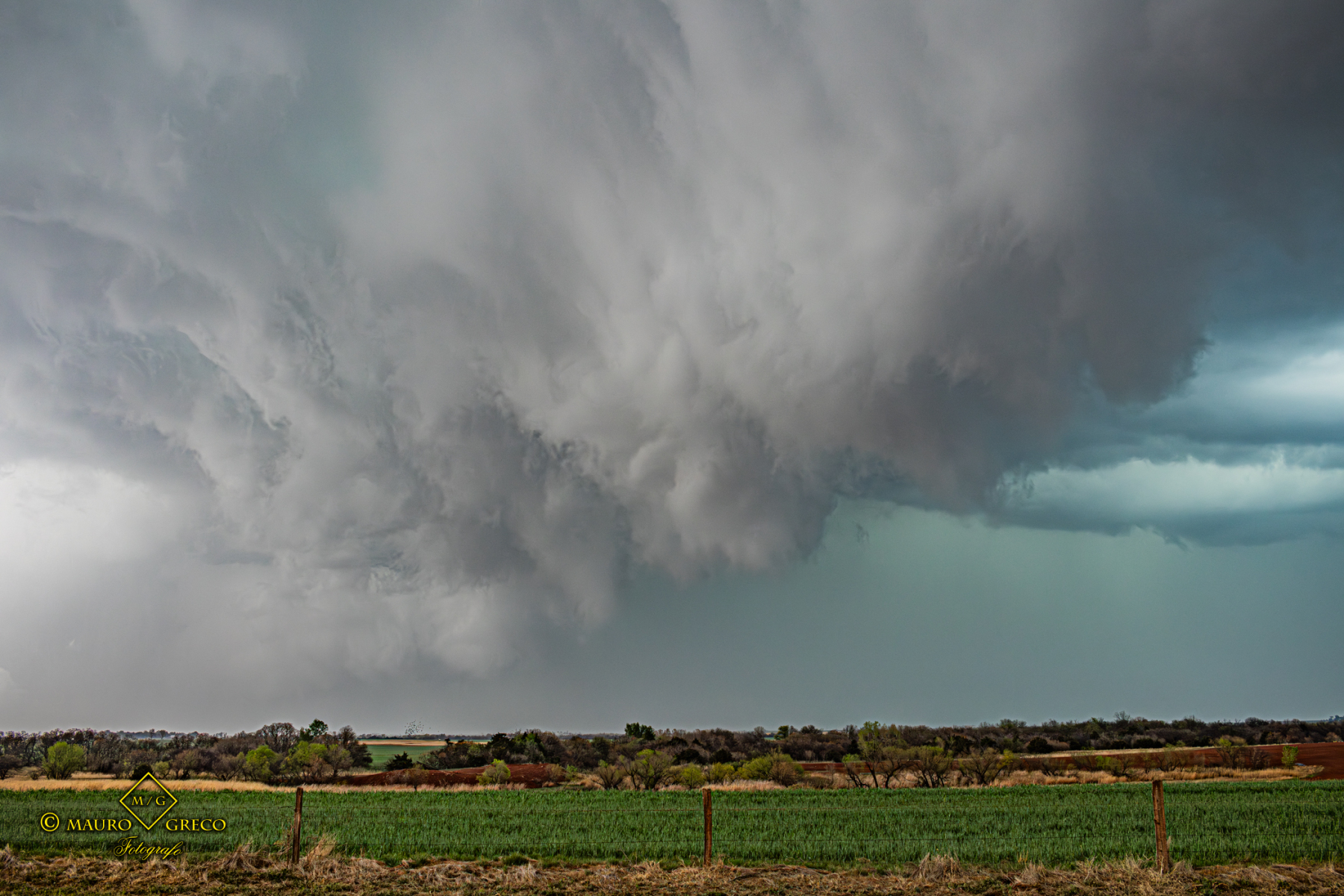
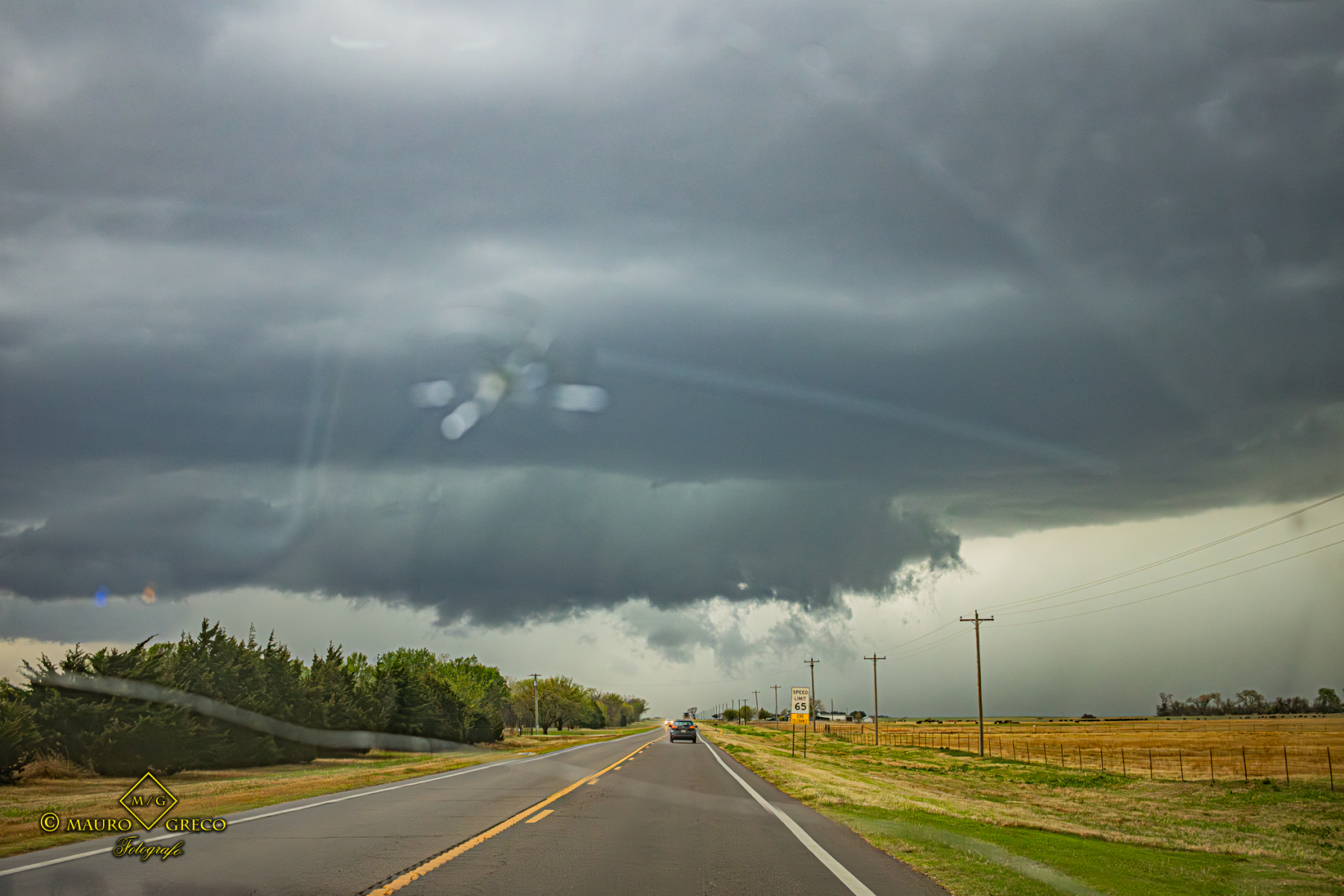
This season in Tornado Alley has been incredibly active, allowing us to document several photogenicmothership supercell.
This 2026 chase log is a collection of the most spectacular visual captures, from intense vortices to perfect storm structures all videos are in 4K 60fps
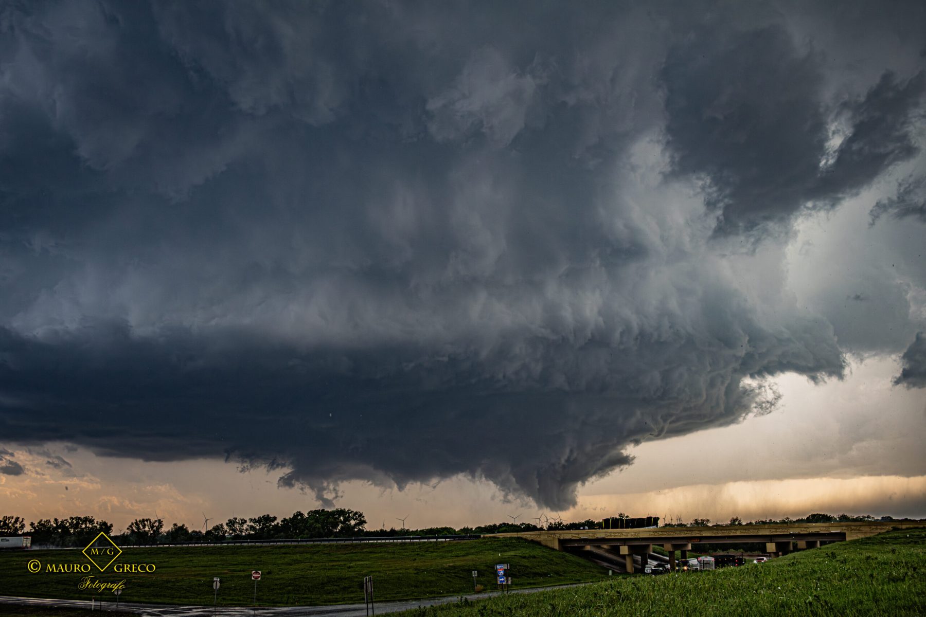
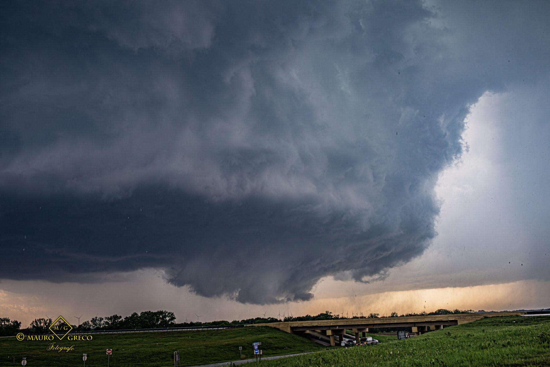
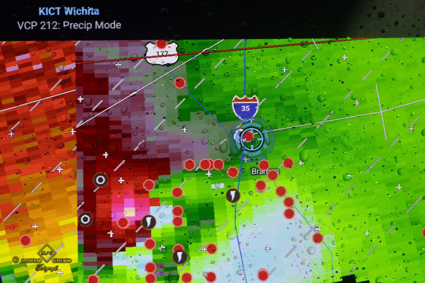
Huge Rain-Wrapped Tornado & Rotating Supercell | Braman, OK (April 23, 2026)
Intercepting the Braman Rain-Wrapped Monster Tornado
Intercept of a massive rain-wrapped tornado near Braman, Oklahoma, on April 23, 2026. This intense severe weather event was defined by incredible atmospheric dynamics, featuring a rapidly rotating mesocyclone and a highly organized wall cloud. As the supercell matured across the Oklahoma plains, it dropped a large, dangerous cone tornado.
Within minutes, heavy precipitation wrapped around the massive circulation, creating a classic and treacherous “bear cage” scenario. The textbook storm structure and the sheer power of the inflow made this intercept one of the most mesmerizing moments of the 2026 Tornado Alley season
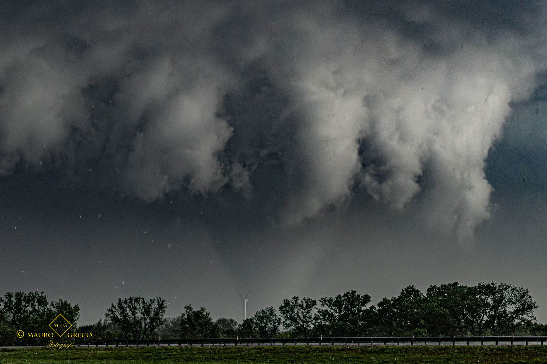
Rain-Wrapped Tornado & Severe Supercells | Weatherford to West, TX (April 28, 2026)
Tracking a “Bear Cage” Across the Texas Plains
Intense 7-hour chase tracking tornado-warned cells from Archer City to West, Texas, on April 28, 2026. The pursuit culminated in the intercept of a highly dangerous rain-wrapped tornado just Southeast of Weatherford, TX.
The documented footage and photography capture the exact moments before the massive circulation was completely swallowed by the heavy precipitation core. This textbook “bear cage” scenario rendered the tornado virtually invisible to the eye, highlighting the extreme and treacherous tracking conditions of Texas severe weather.
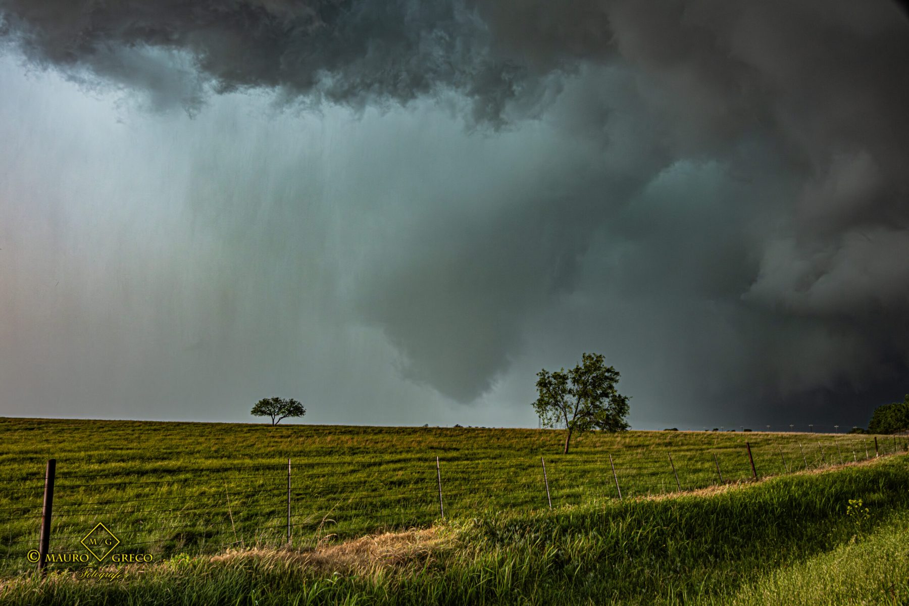
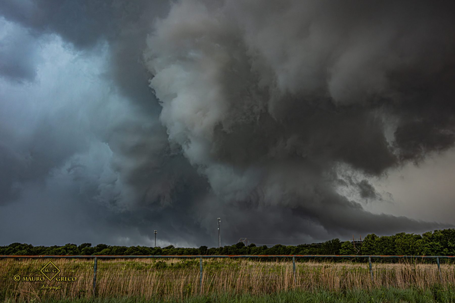
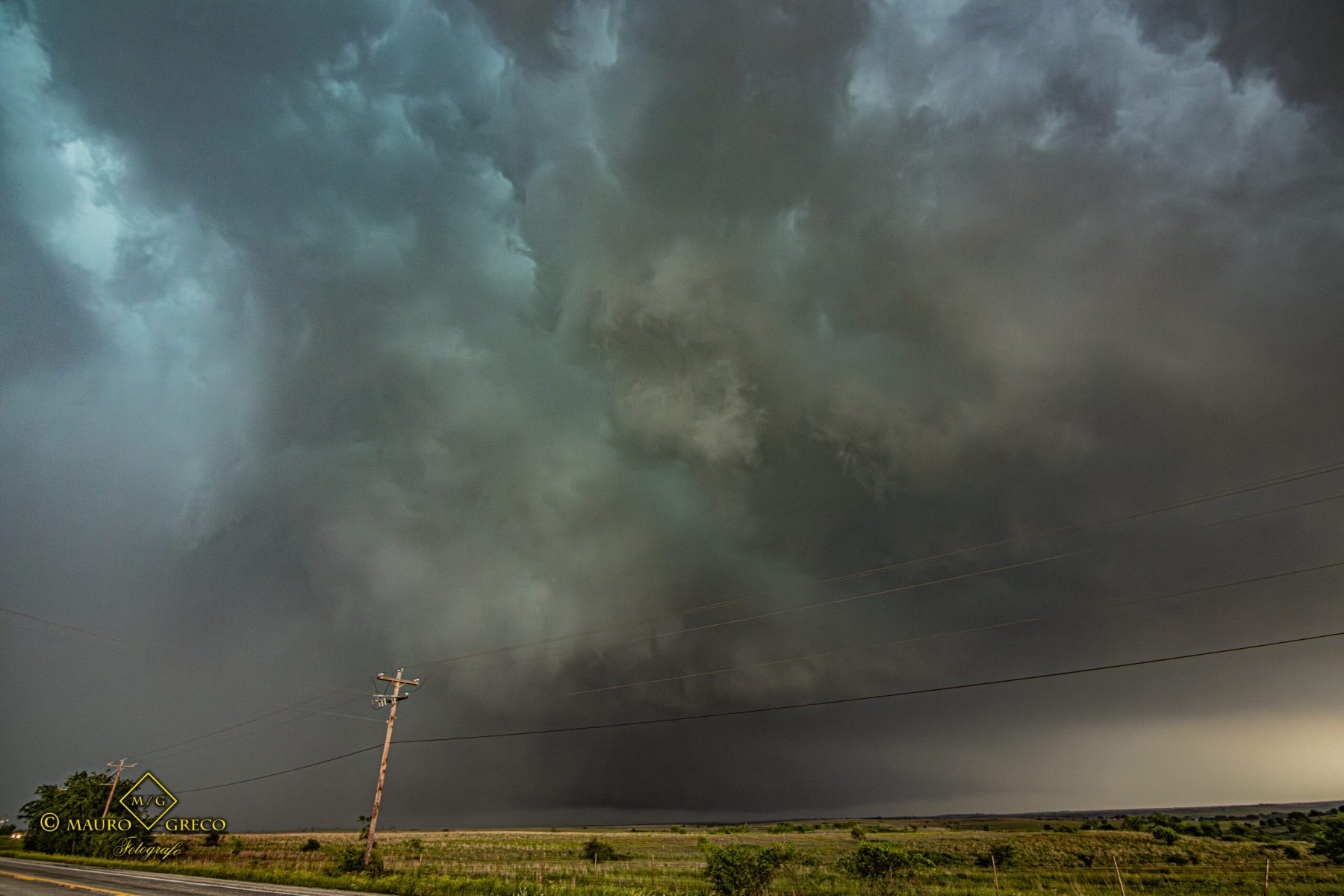
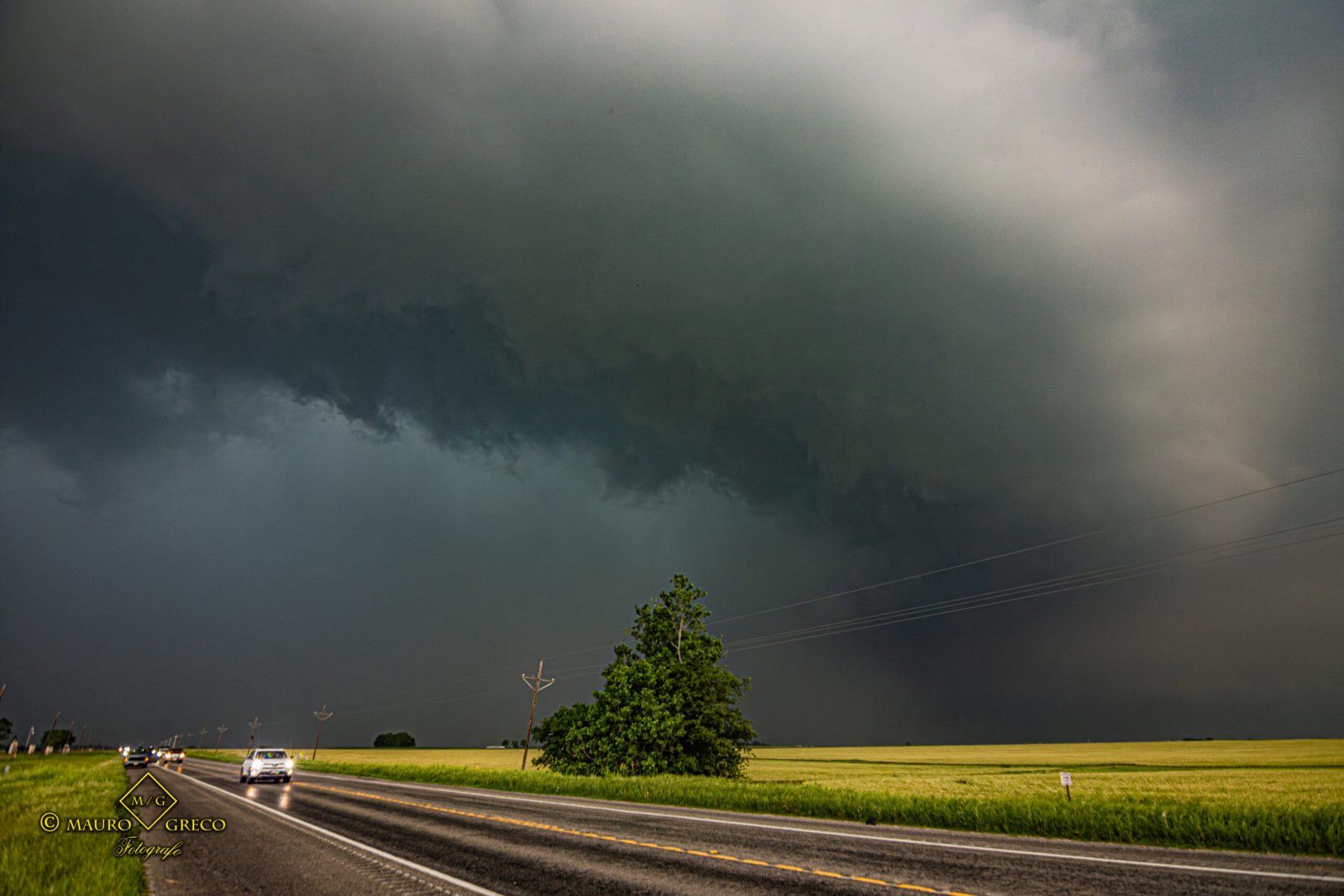
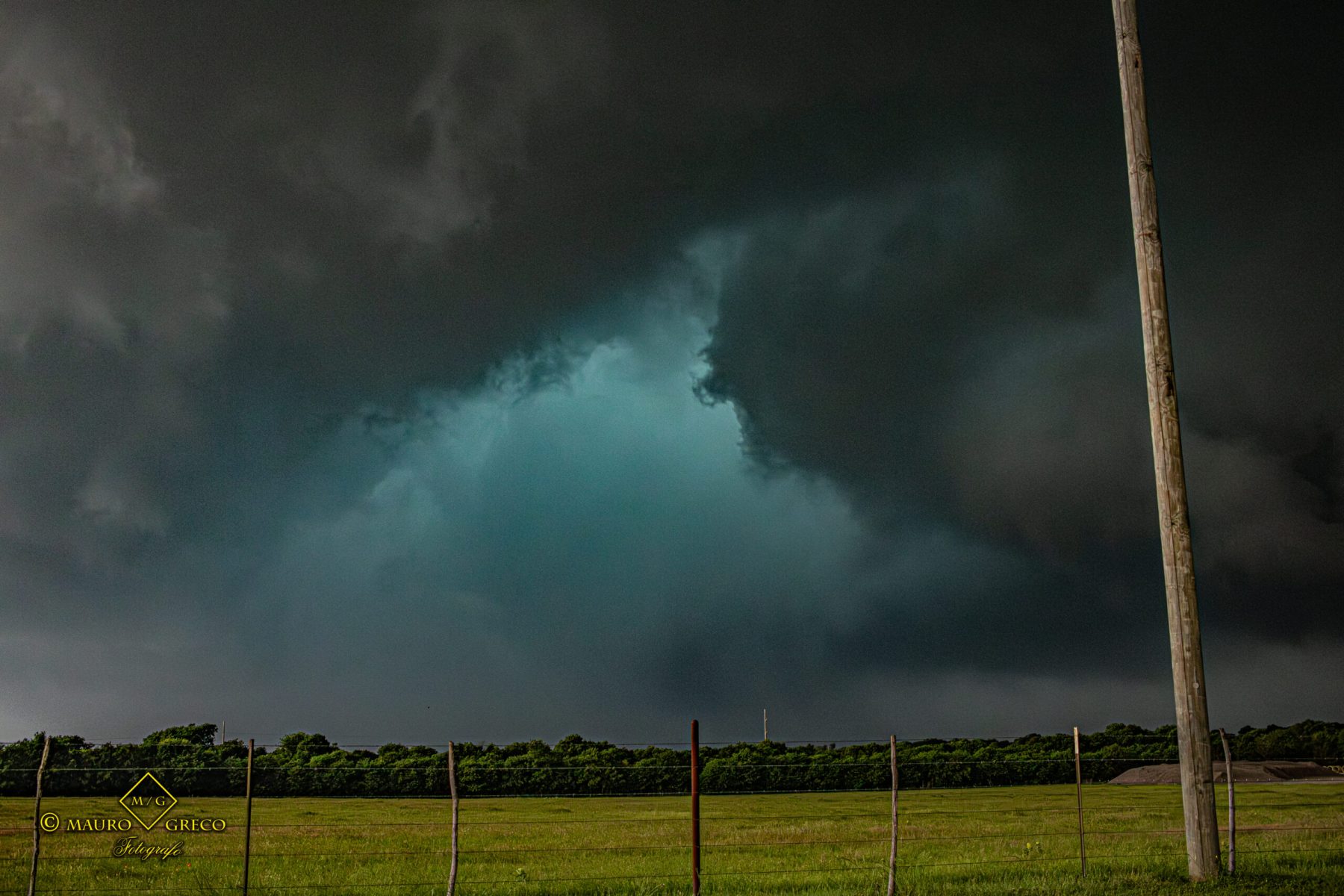
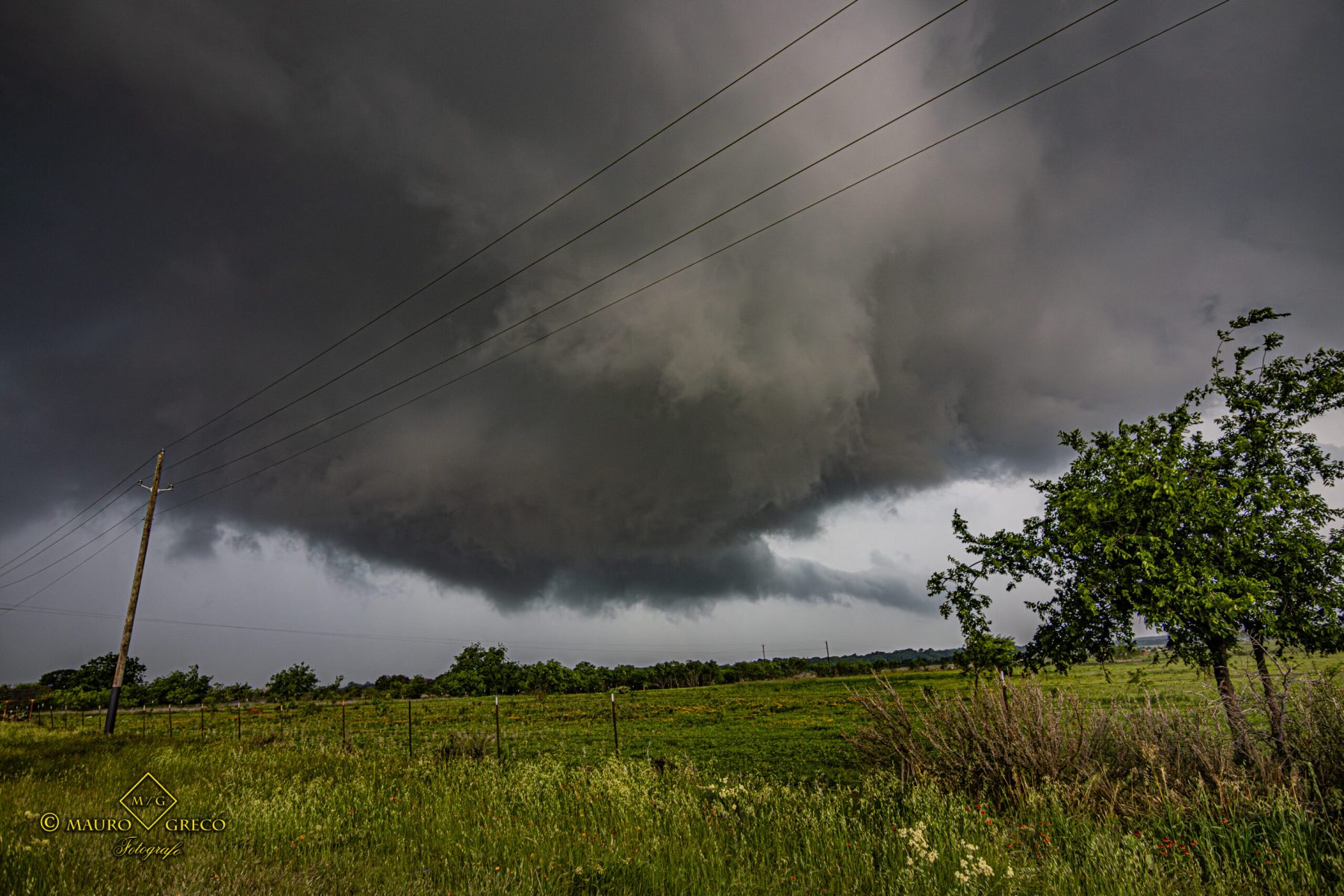
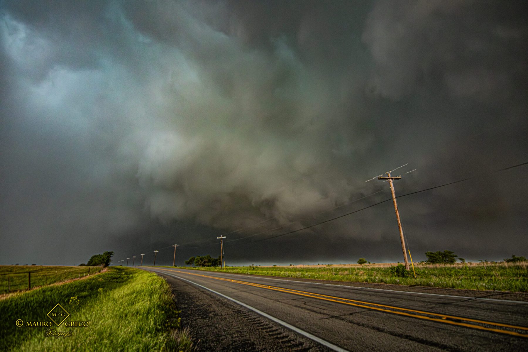
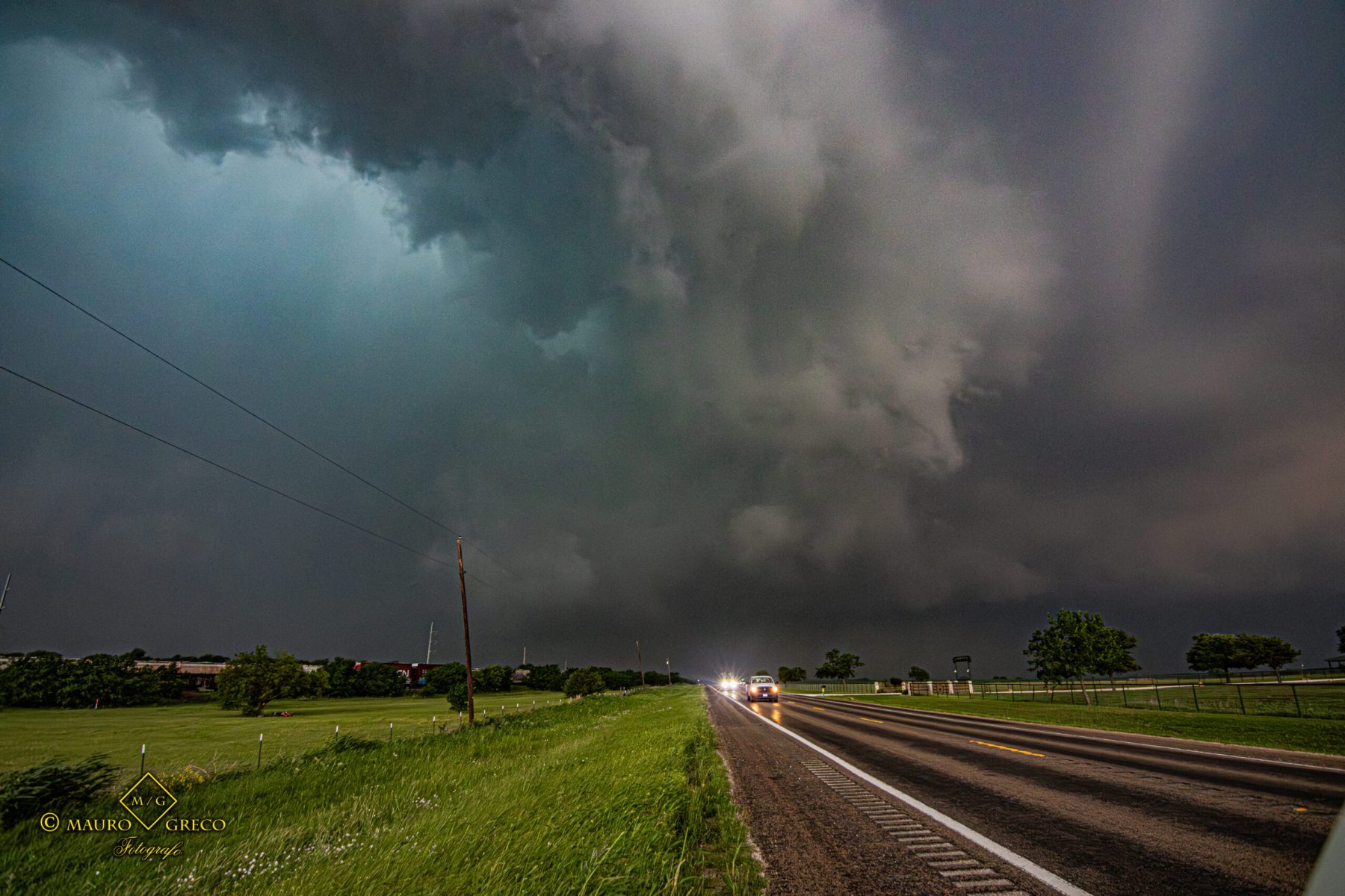
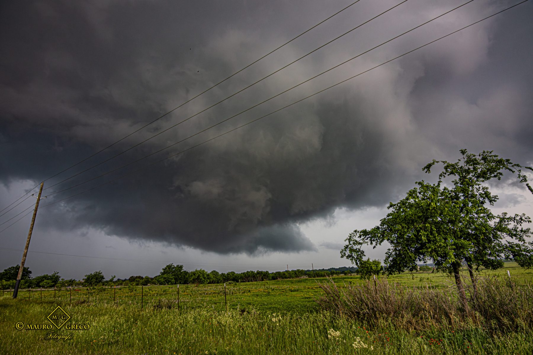
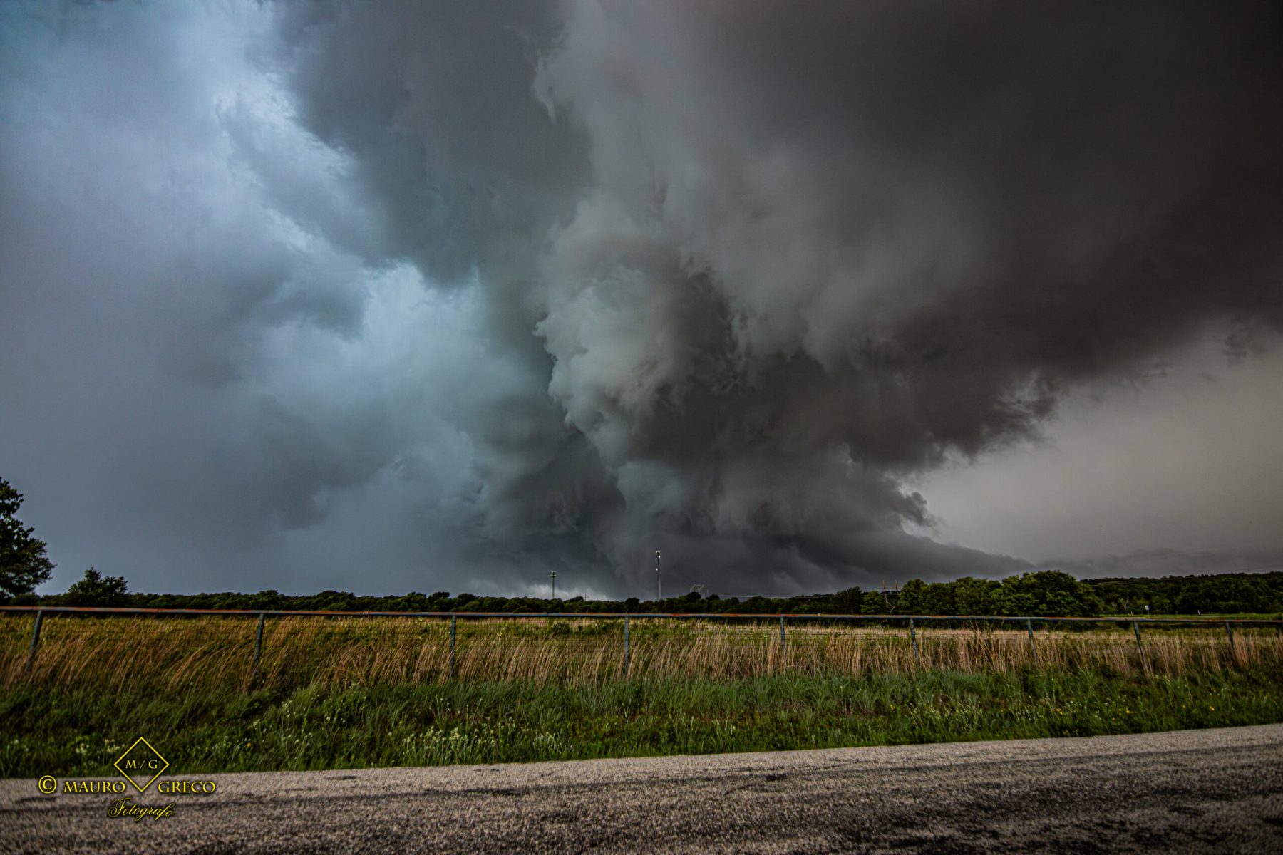
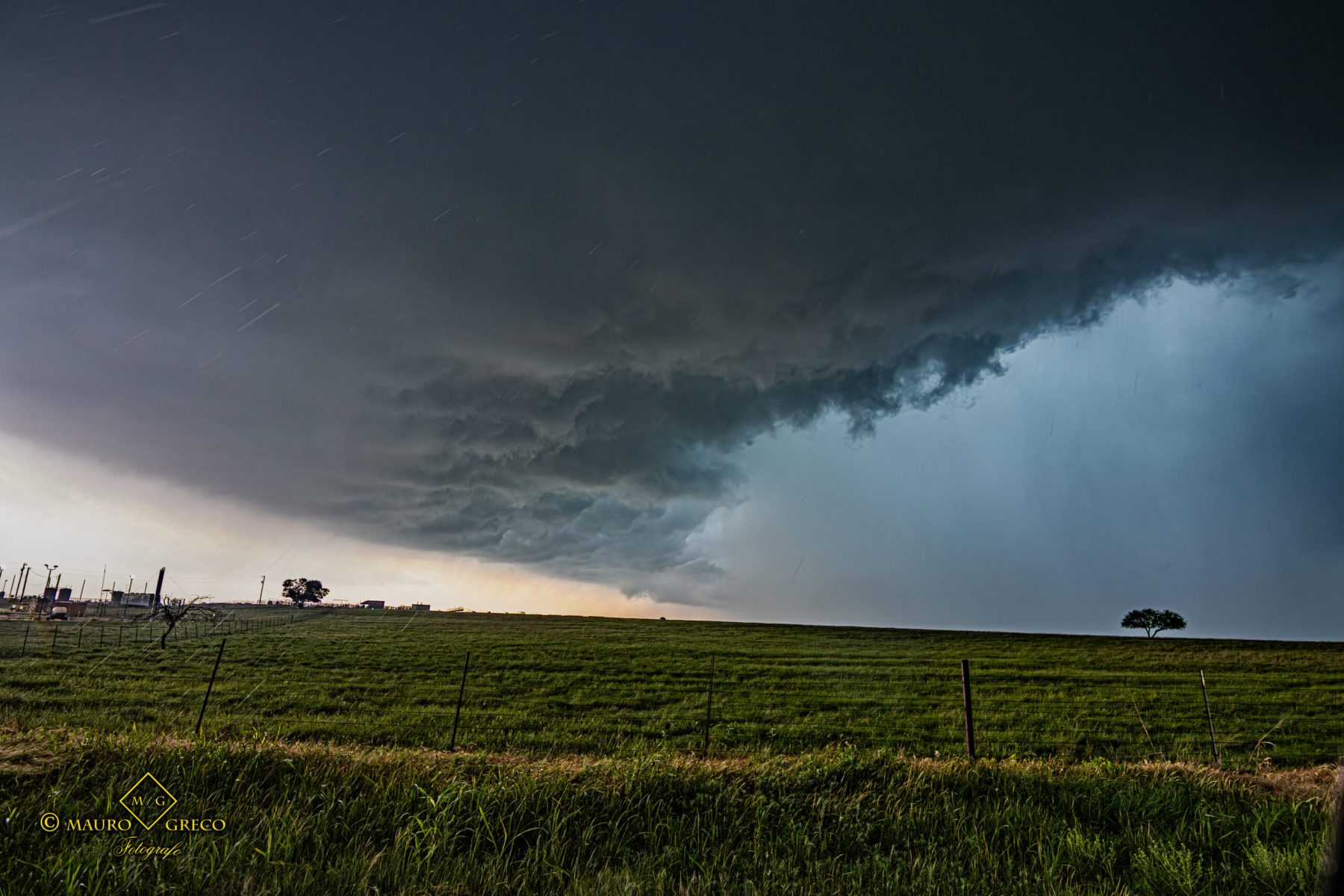
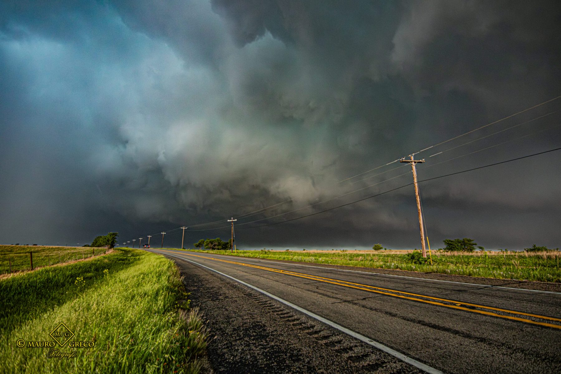
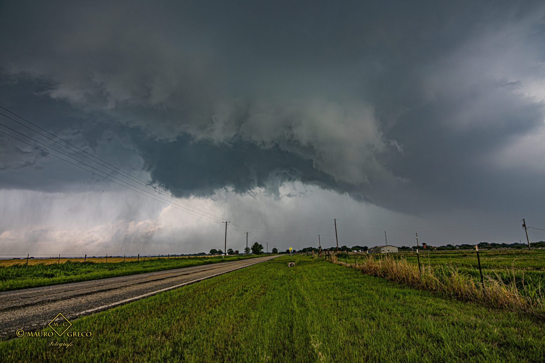
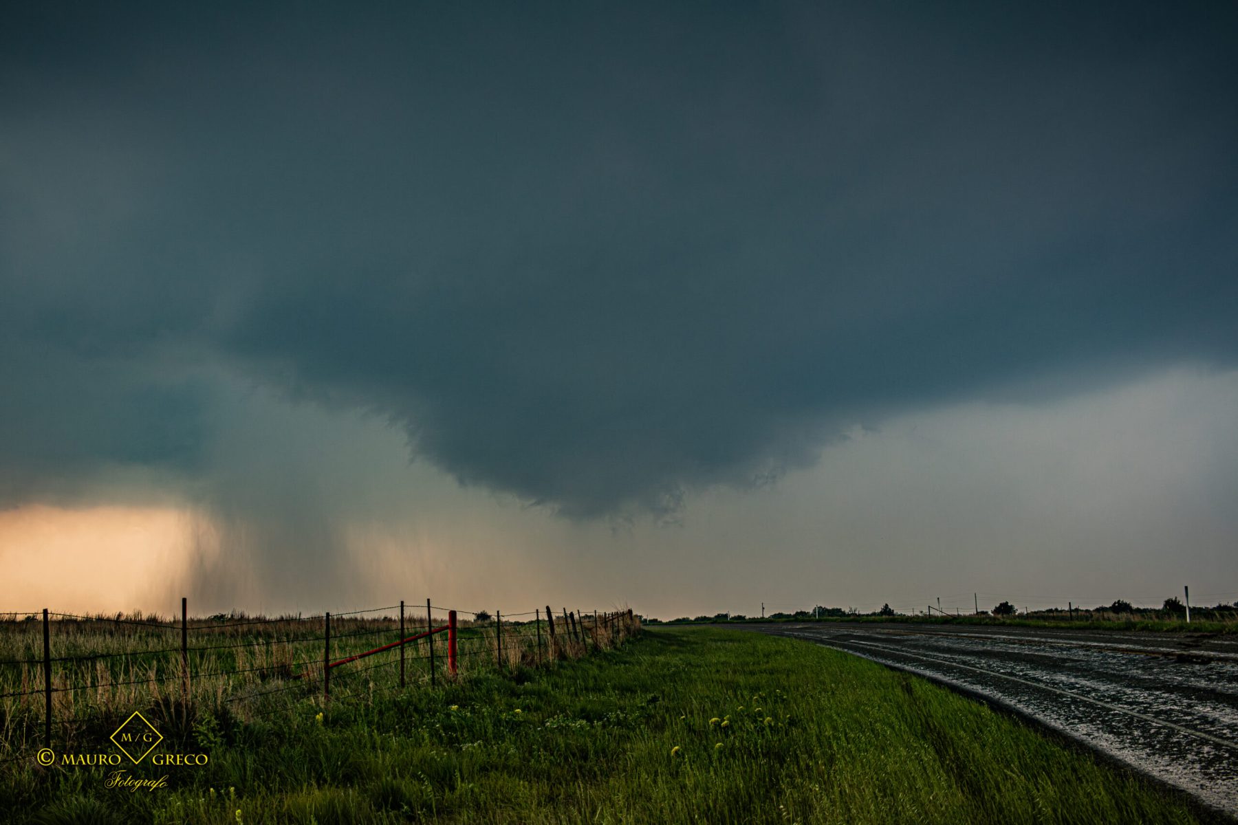
Prominent Wall Cloud and Funnel near Belleville, Kansas
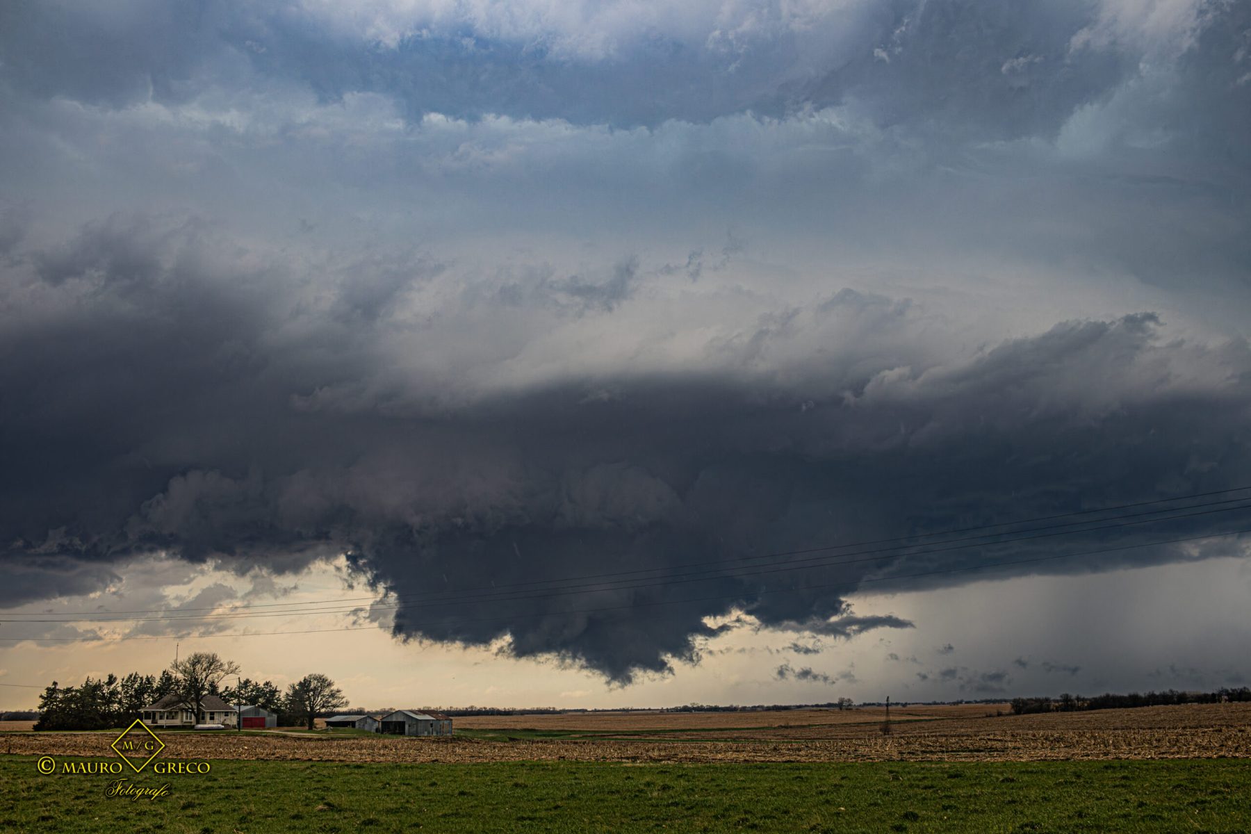
A very tense intercept on April 11 2026 as a dark, prominent wall cloud developed over the green agricultural fields of Belleville, Kansas. The extreme storm structure hinted at an imminent tornado threat. See the dramatic footage and photos of this dangerous setup below
Crazy Supercell with Massive Wall Cloud – Belleville, KS Supercell Timelapse April 11 2026
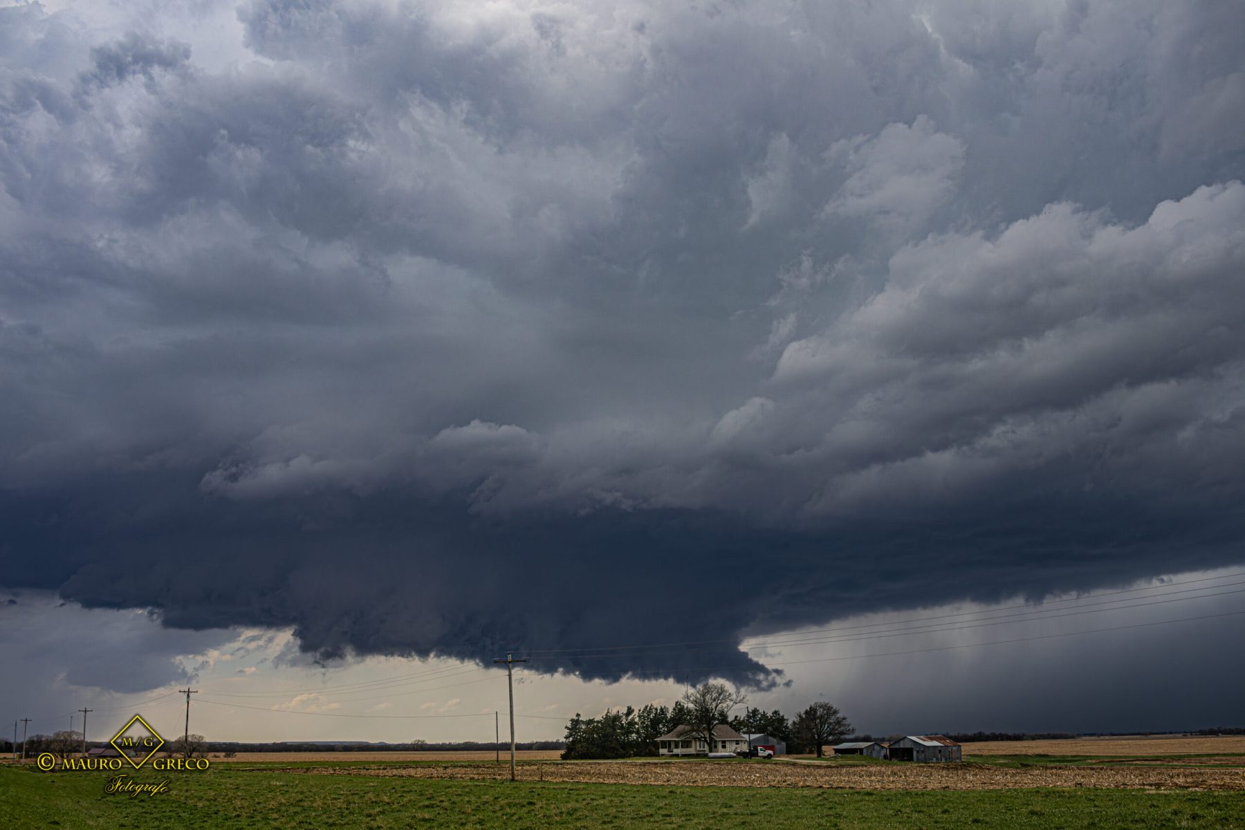
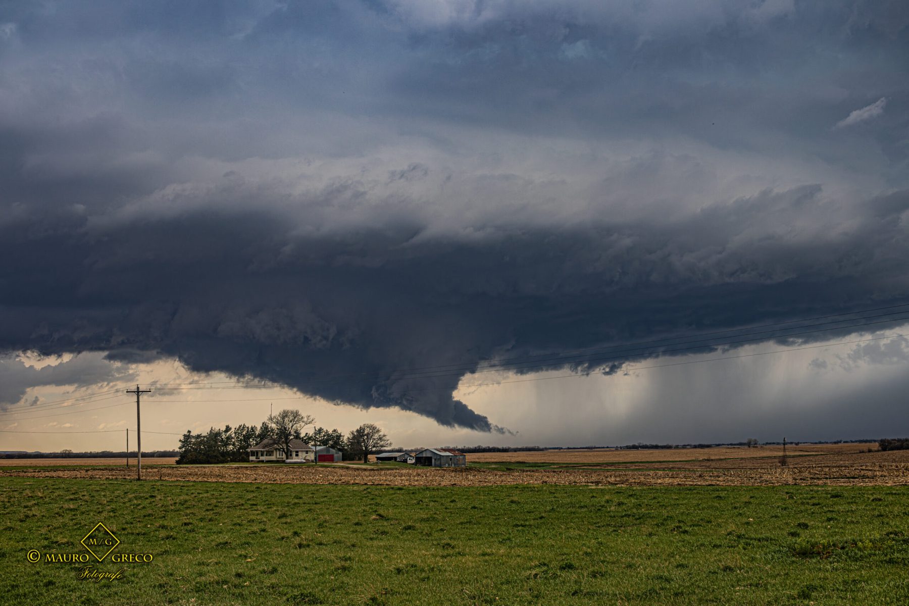
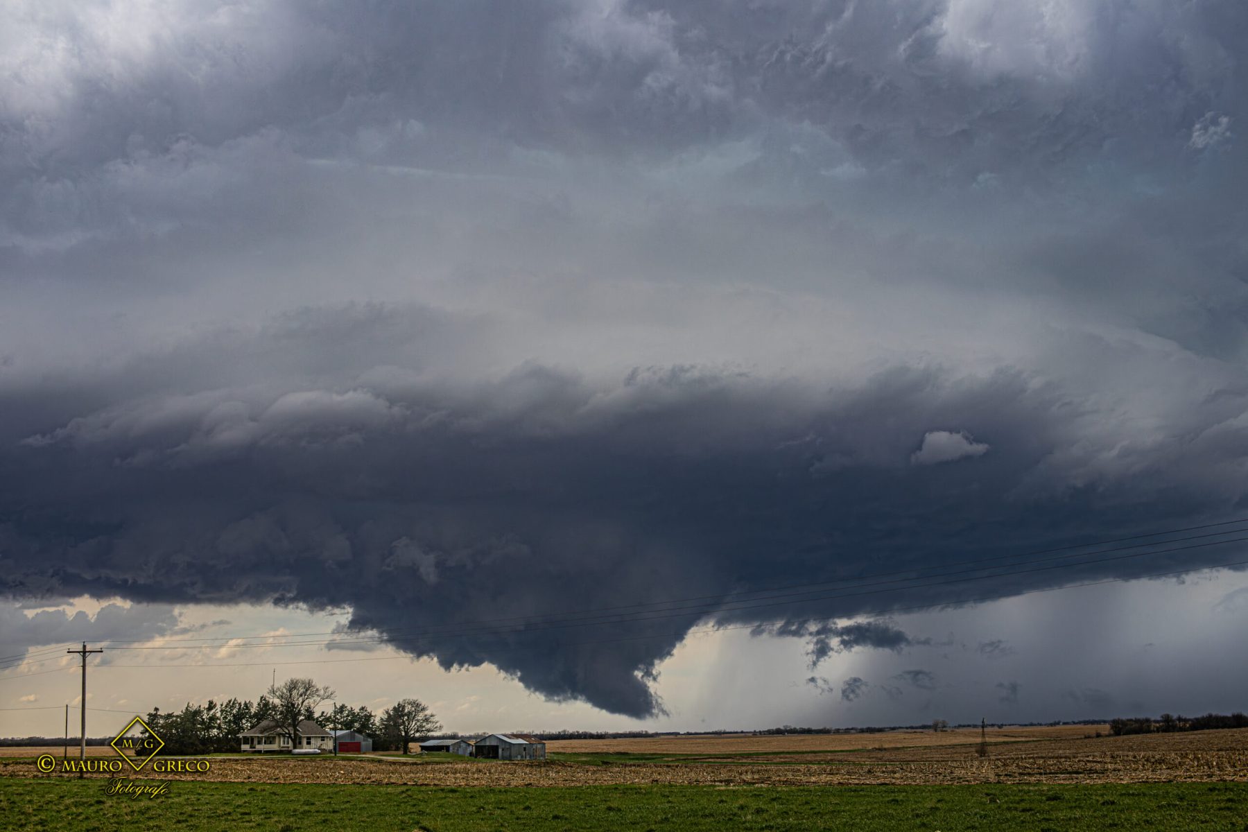
The Brantford, Kansas “Mothership” Supercell
April 9 2026 – One of the most visually stunning chases of the 2026 season! This highly striated “mothership” supercell near Brantford, Kansas, put on a spectacular show at dusk. Explore the gallery below to see the raw power of Tornado Alley’s convective storms
Massive Supercell Formation in Brantford, Kansas April 9 2026 – Live Highlights
Approaching Kansas Supercell – Clifton April 9 2026 Timelapse
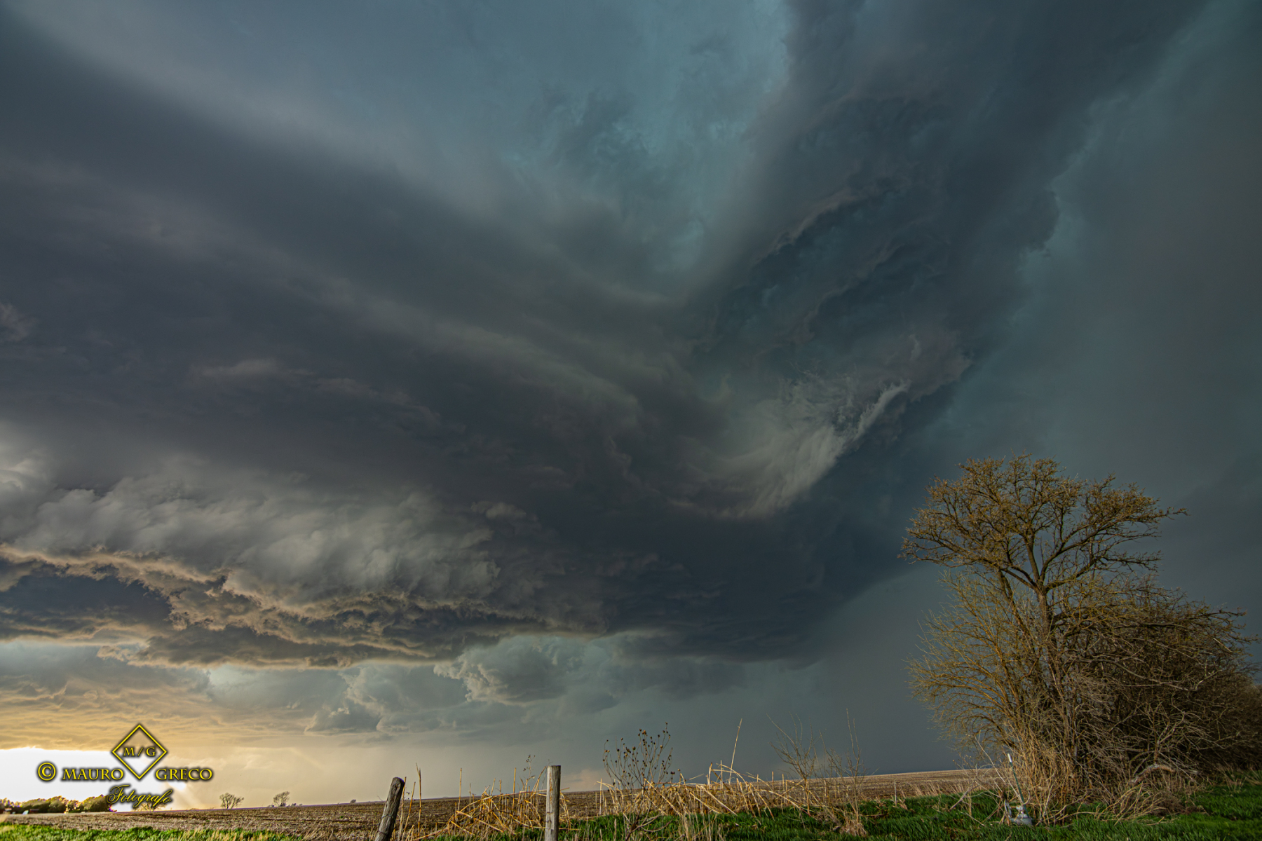
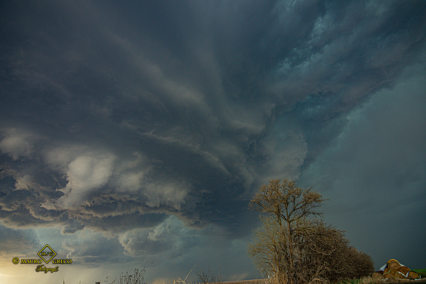

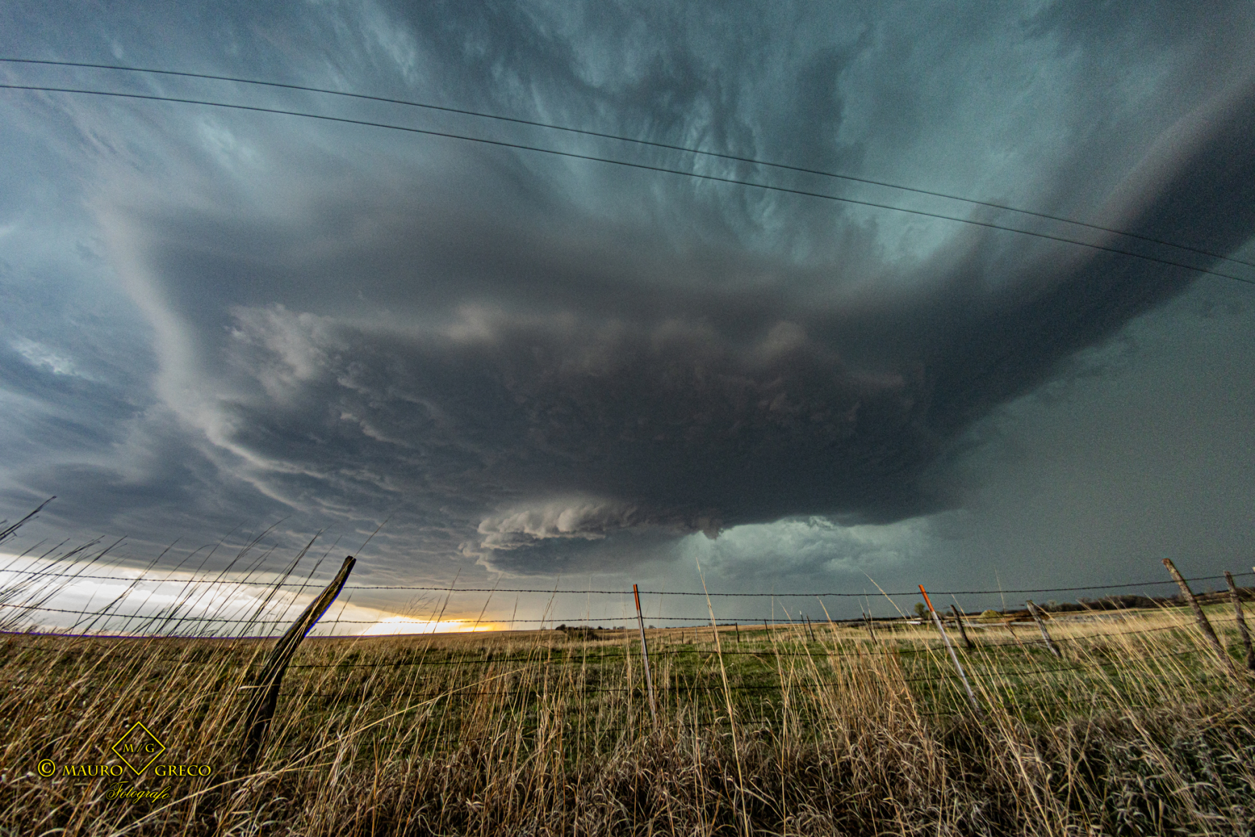
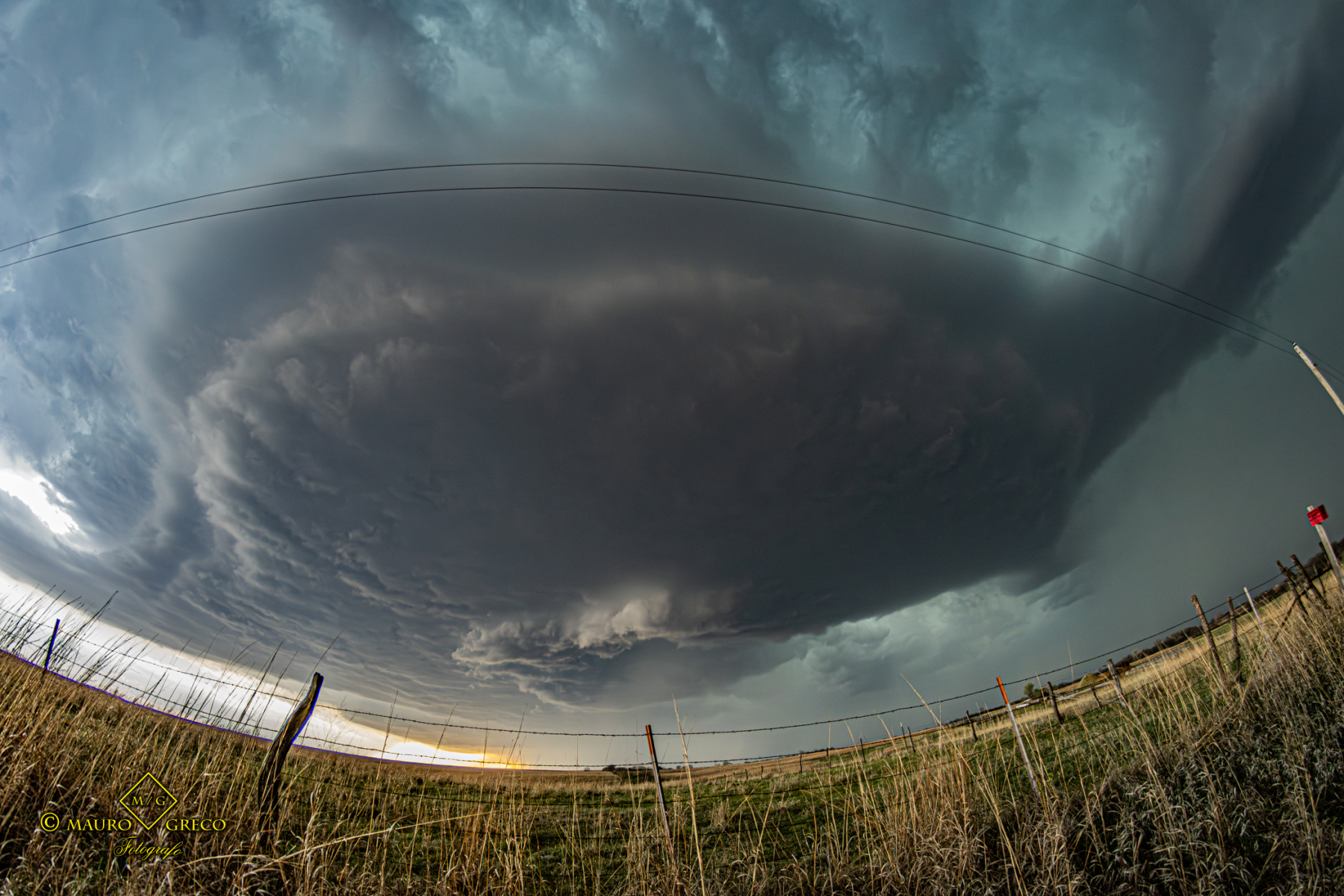
Dramatic Low Base Supercell & Shelf Cloud | Southern Oklahoma (April 24, 2026)
Tracking the Southern Oklahoma Storm Front
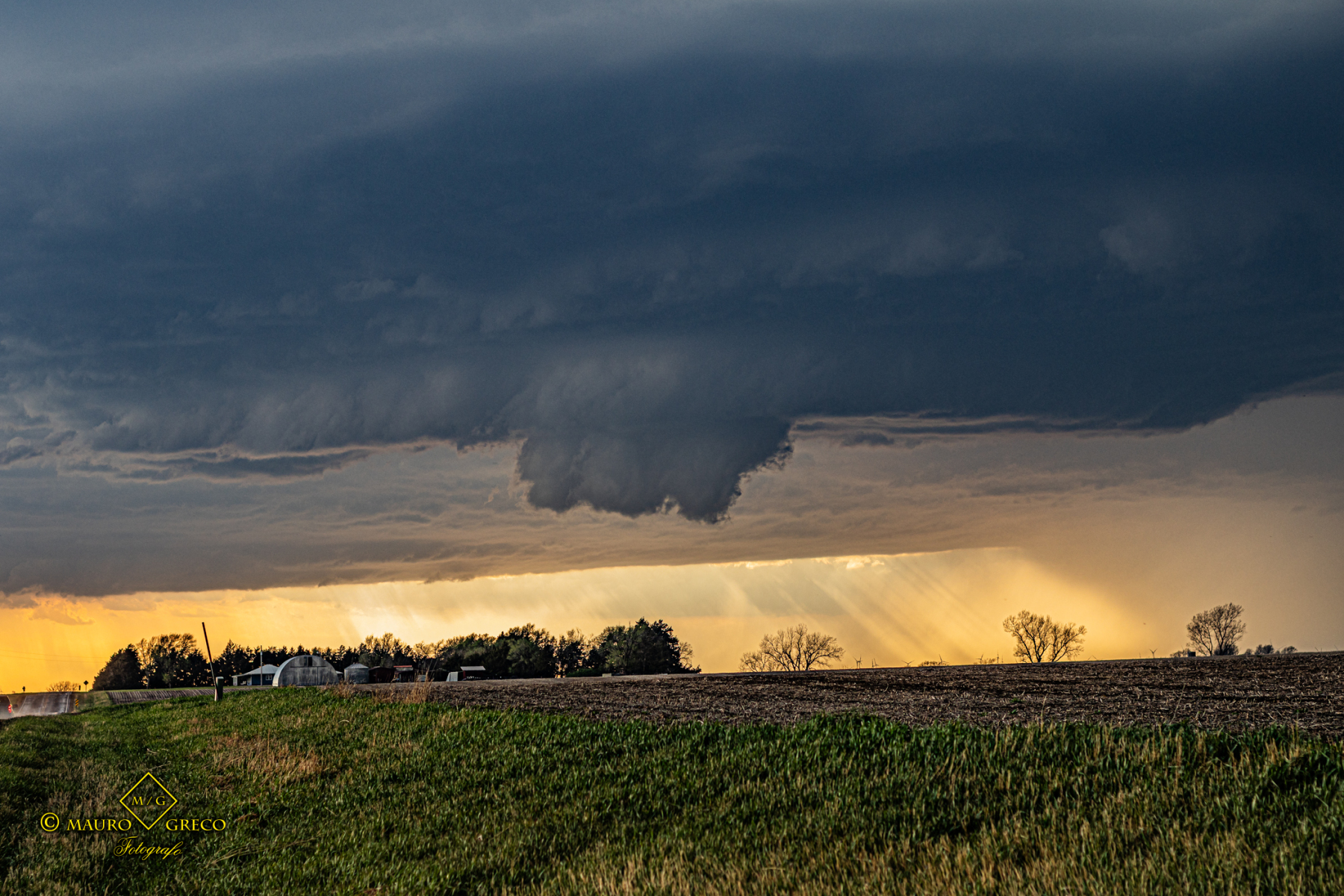
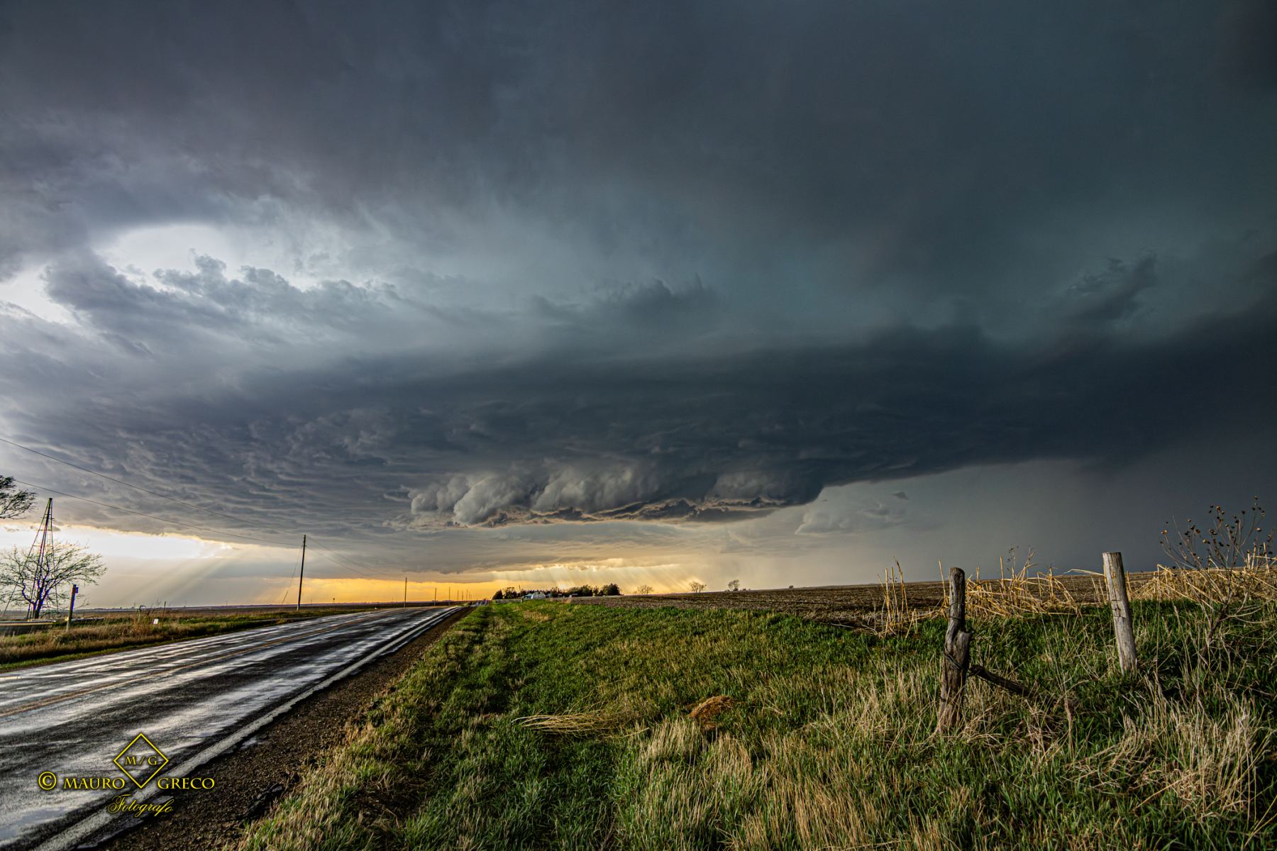
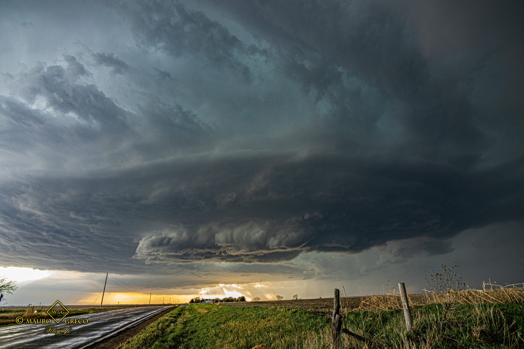
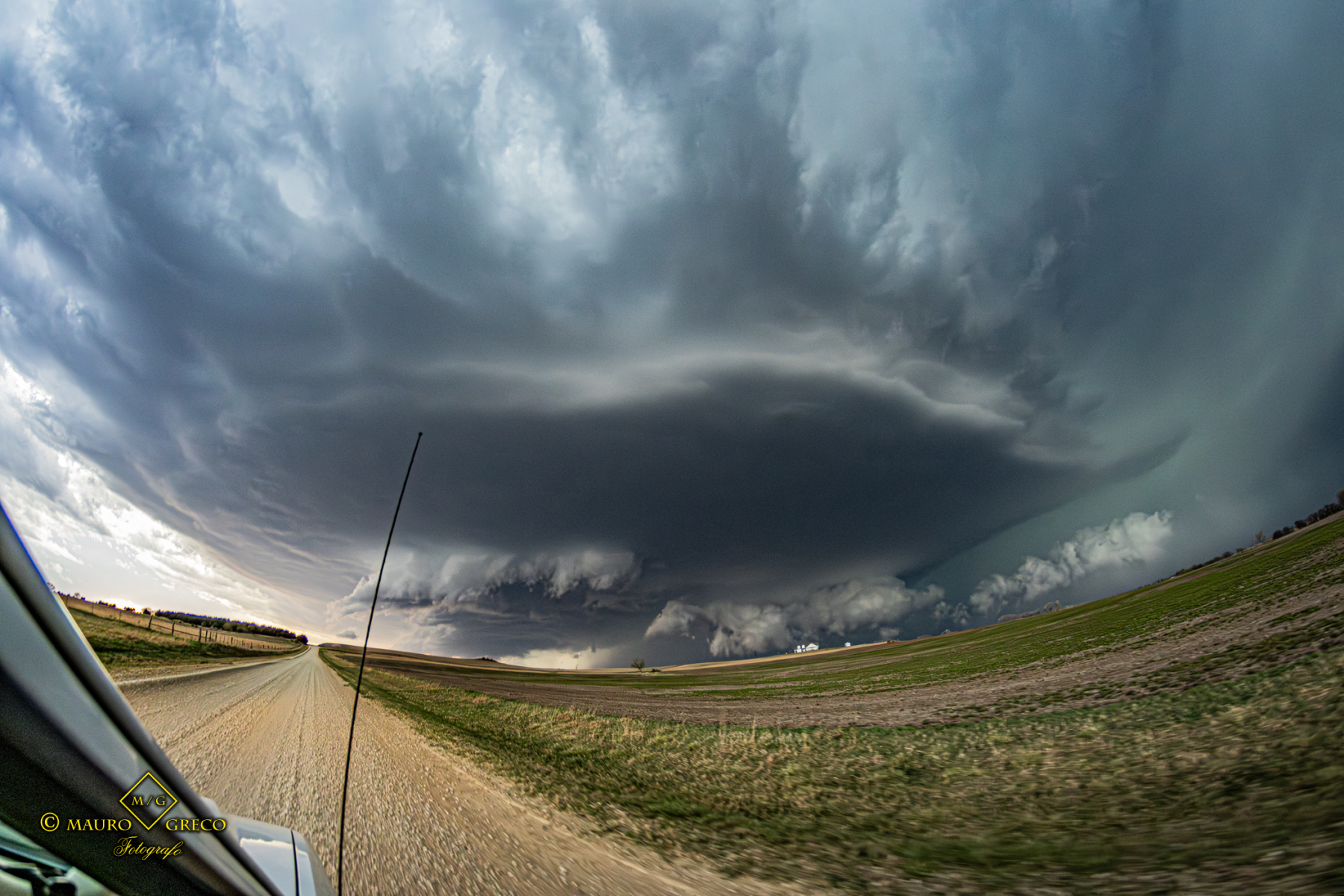
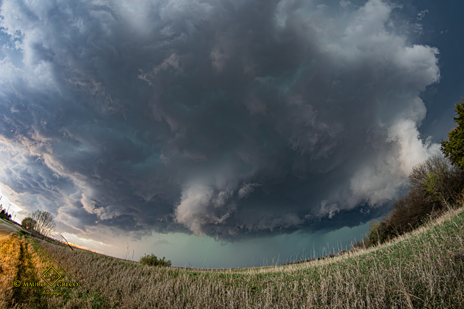
Documentation of a powerful storm system moving across Southern Oklahoma on April 24, 2026. The chase focused on the regions nearWynnewood, Sulphur, and Tishomingo, where a massive, low base supercell and shelf cloud dominated the horizon.
This intense squall line exhibited remarkable atmospheric dynamics, providing a textbook example of a storm front’s advancement across the rural Oklahoma landscape. The imagery captures the transition from a turbulent mesoscale environment to the arrival of severe weather conditions, highlighting the sheer scale and beauty of the Southern Plains’ storms.

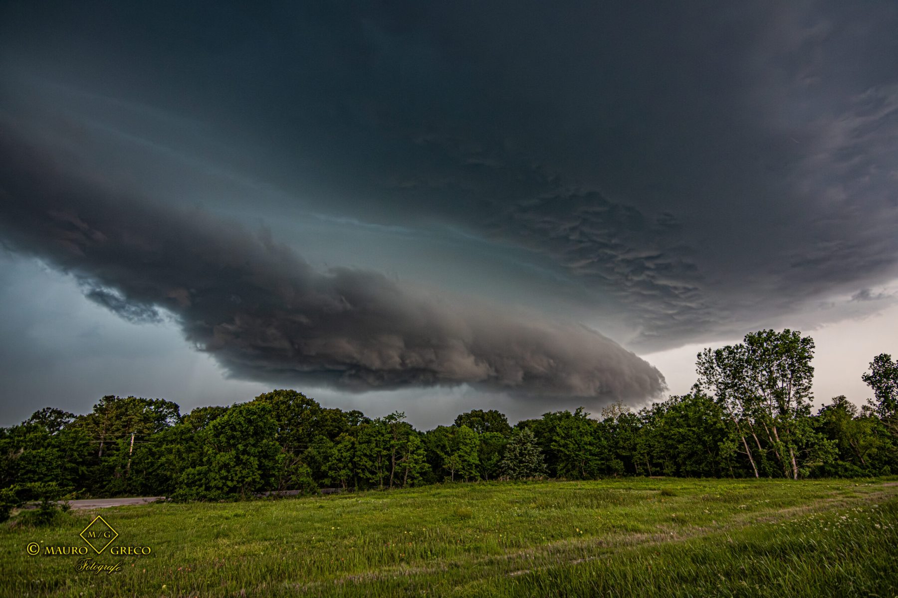
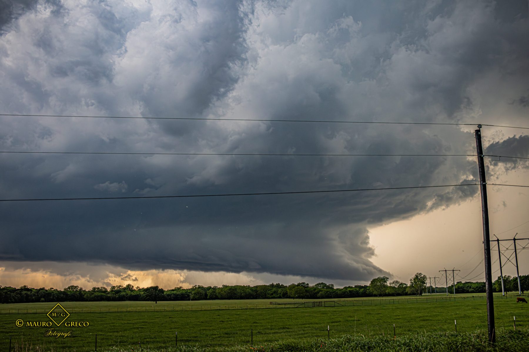
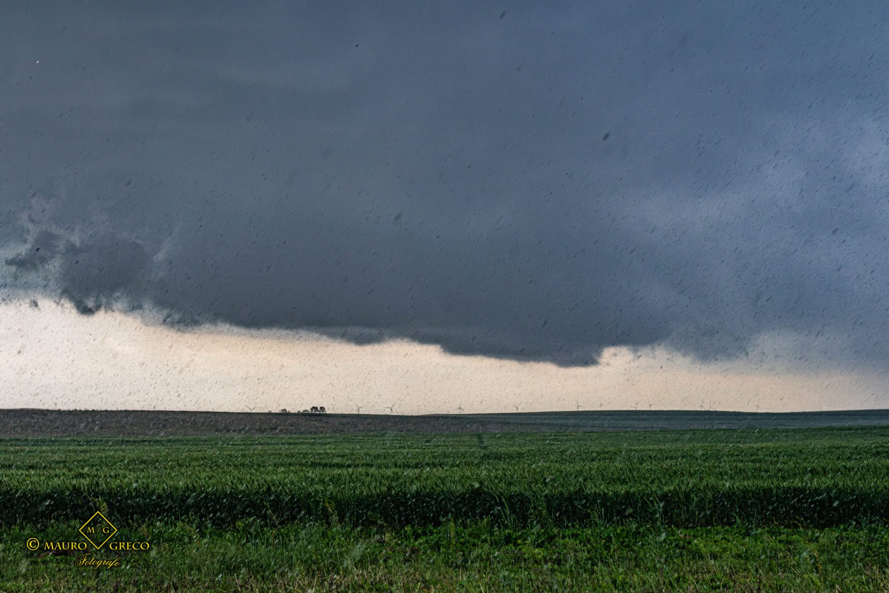
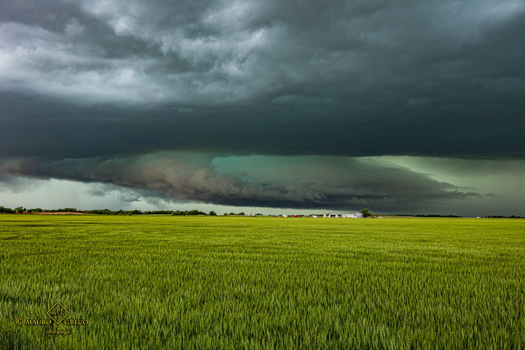
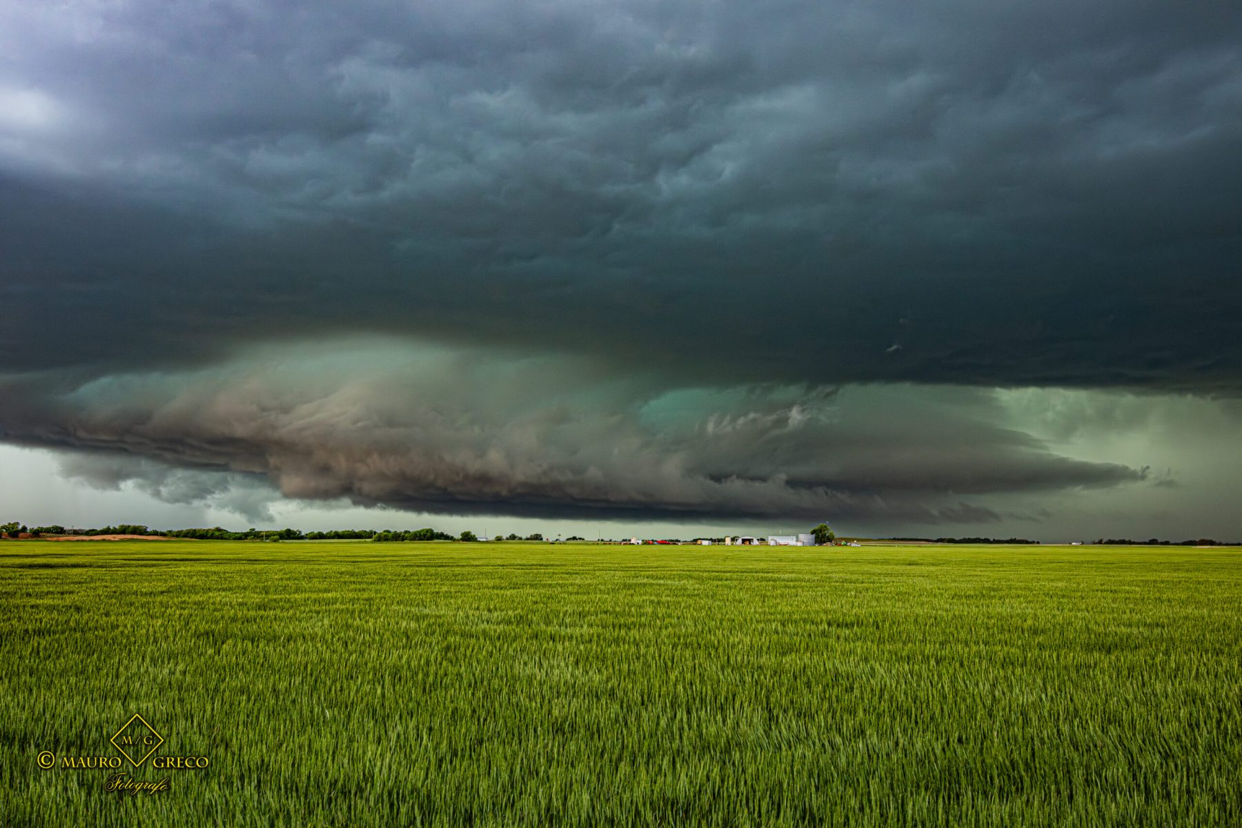
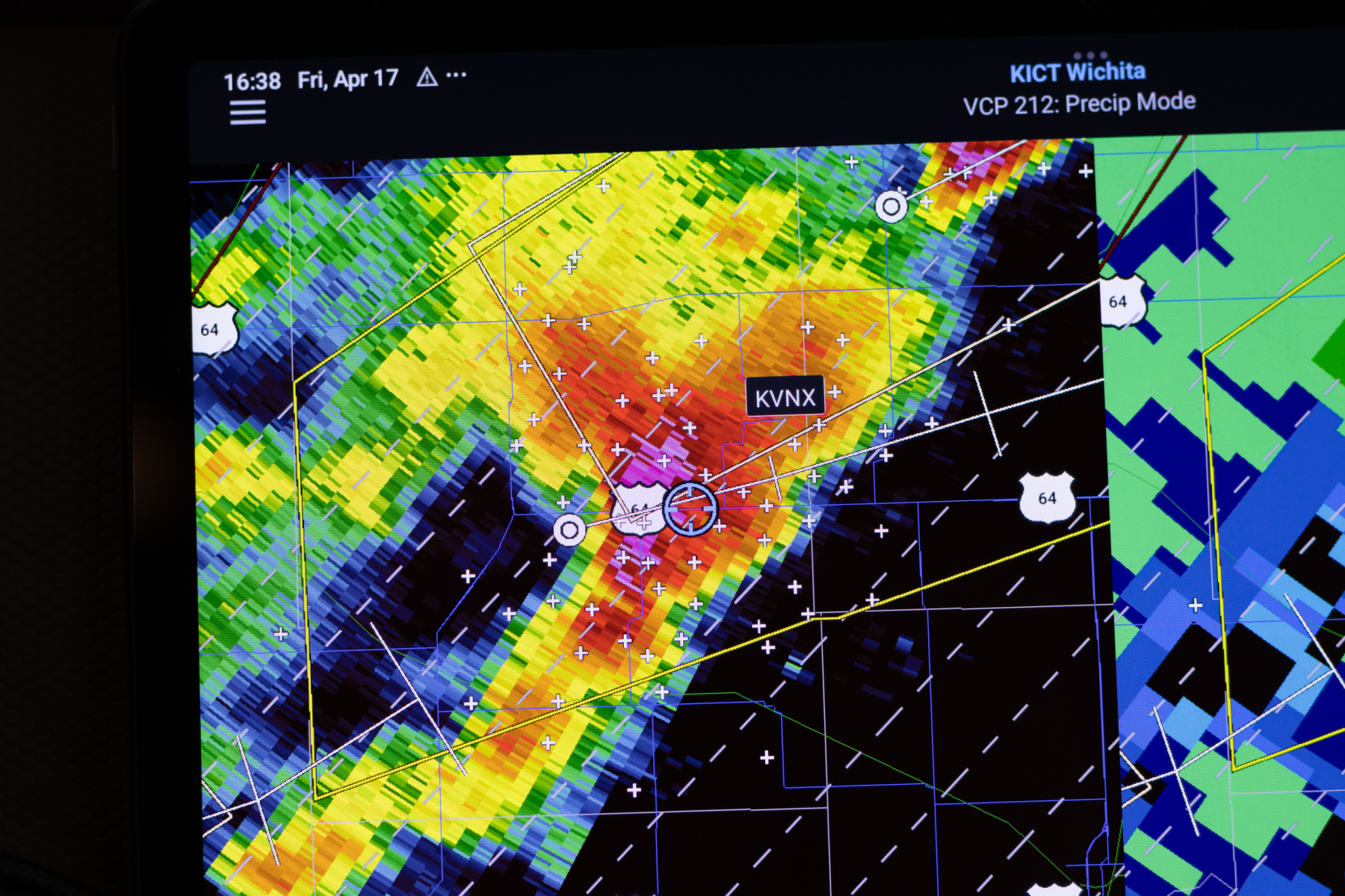
Tracking Severe Supercells Across Northern Oklahoma
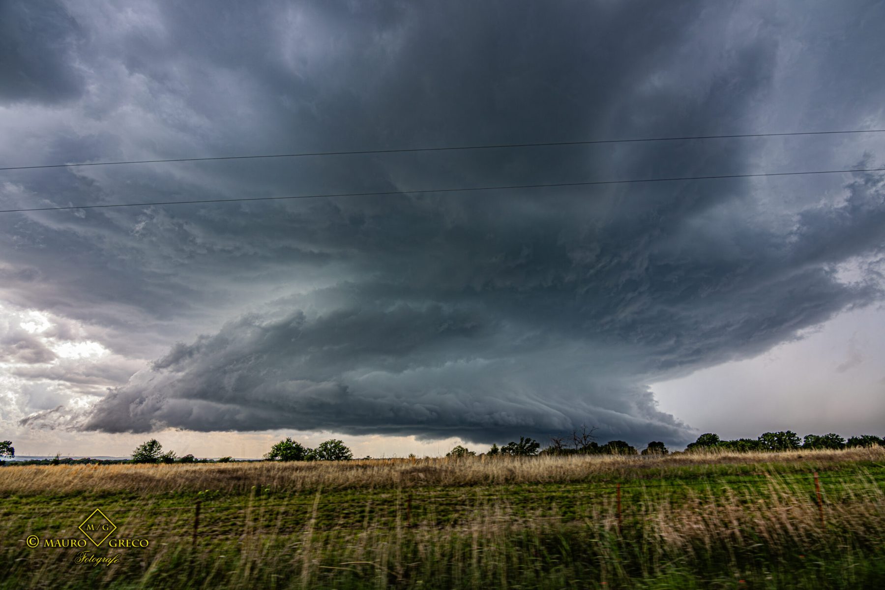
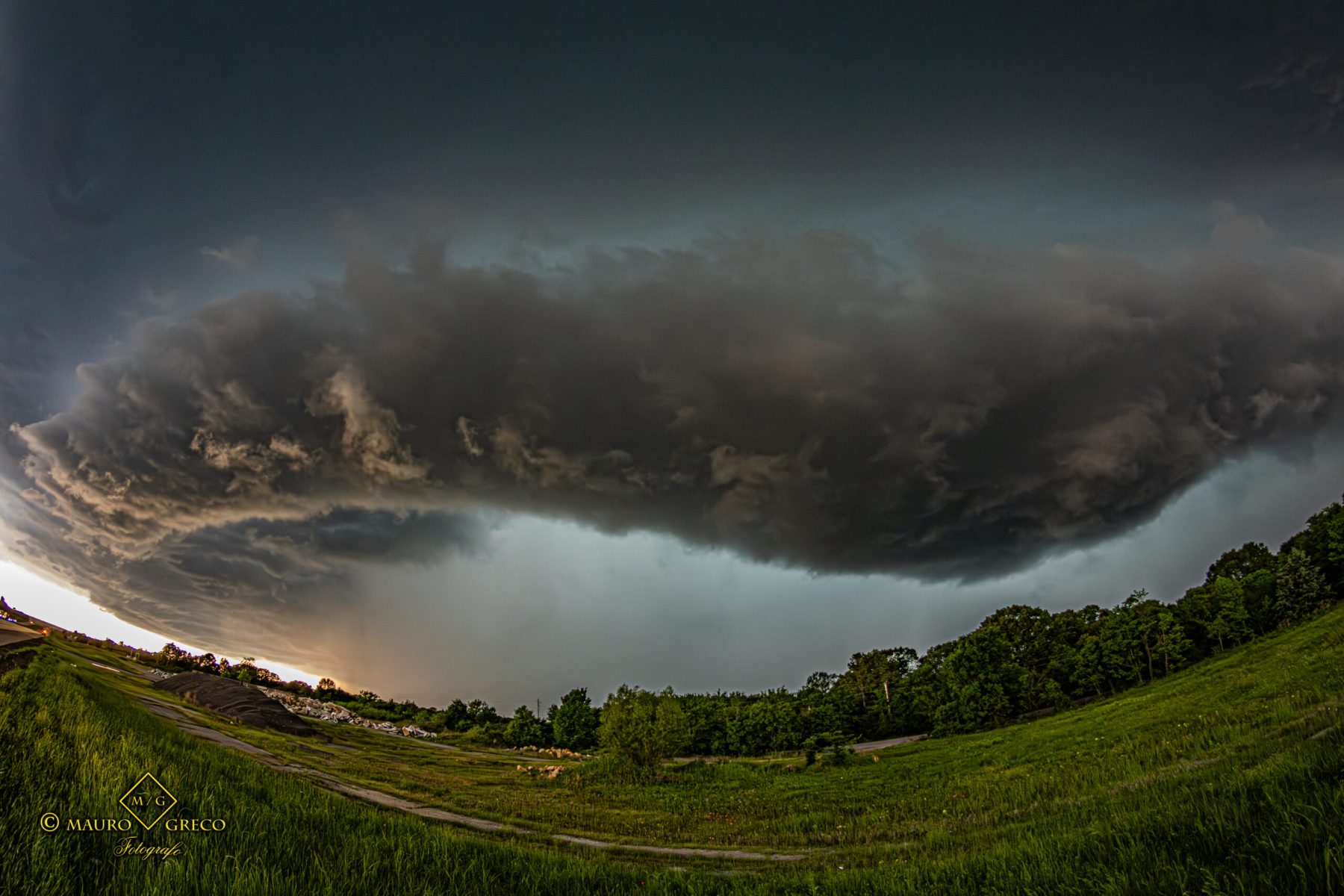
April 17 2026 – A massive chase across the green plains of Enid, Waynoka, and Cherokee. This gallery captures the quintessential Tornado Alley experience: dark, severe thunderstorm structures contrasting beautifully with vibrant spring agriculture, all tracked meticulously via weather radar
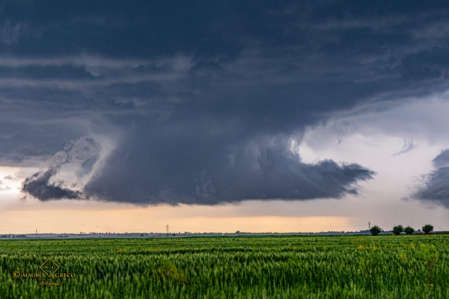


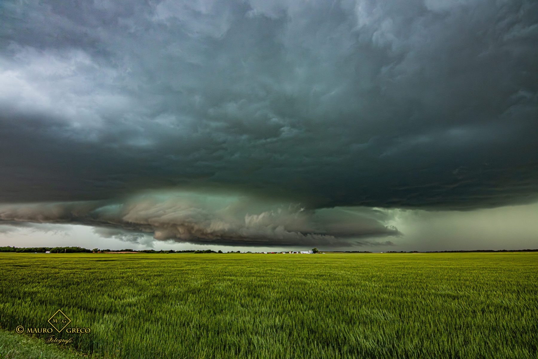


Sweeping Shelf Cloud over the Highways of Wichita Falls, Texas
April 15 2026 – Dropping south into North Texas, we intercepted an imposing shelf cloud that completely dominated the sky over the highway. Check out the wide-angle shots and video showcasing this incredible force of nature moving through the American Midwest


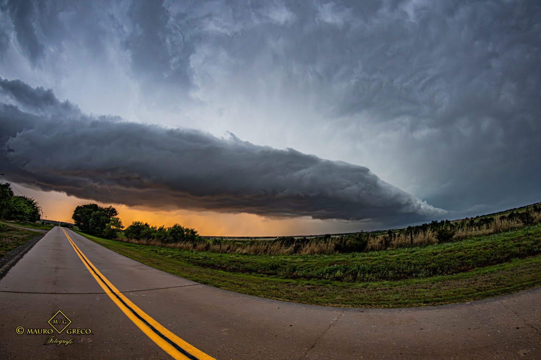
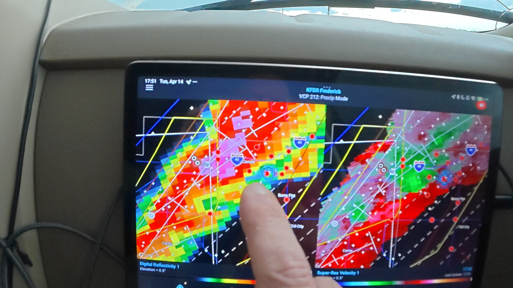
Massive Shelf Cloud and Hail Core in Elk City, Oklahoma
April 14 2026 – An unforgettable chase day featuring a massive, sweeping shelf cloud and an ominous green sky—a classic indicator of heavy hail. Experience the sheer scale of this severe thunderstorm as it rolled across Beckham County, Oklahoma
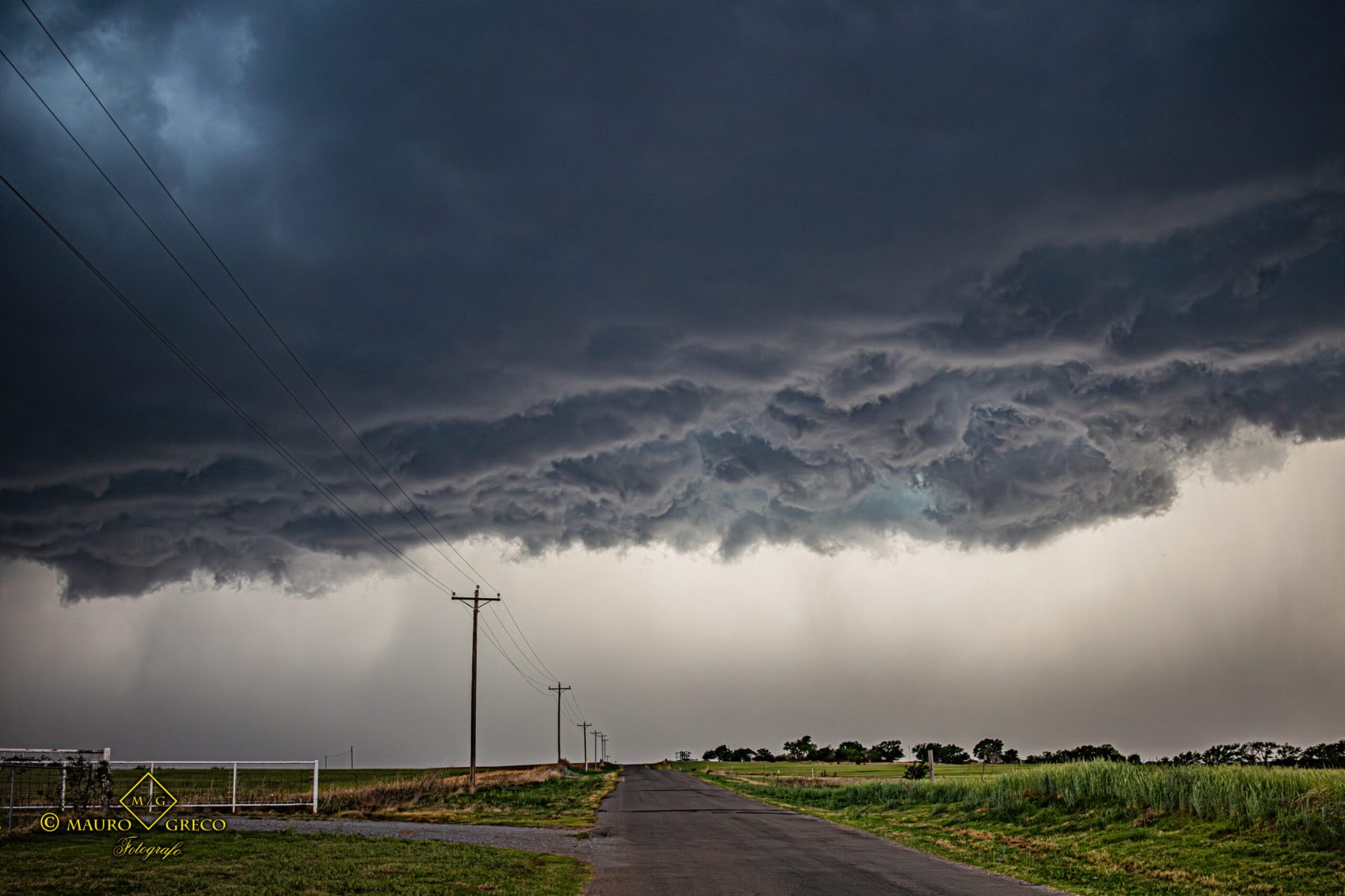
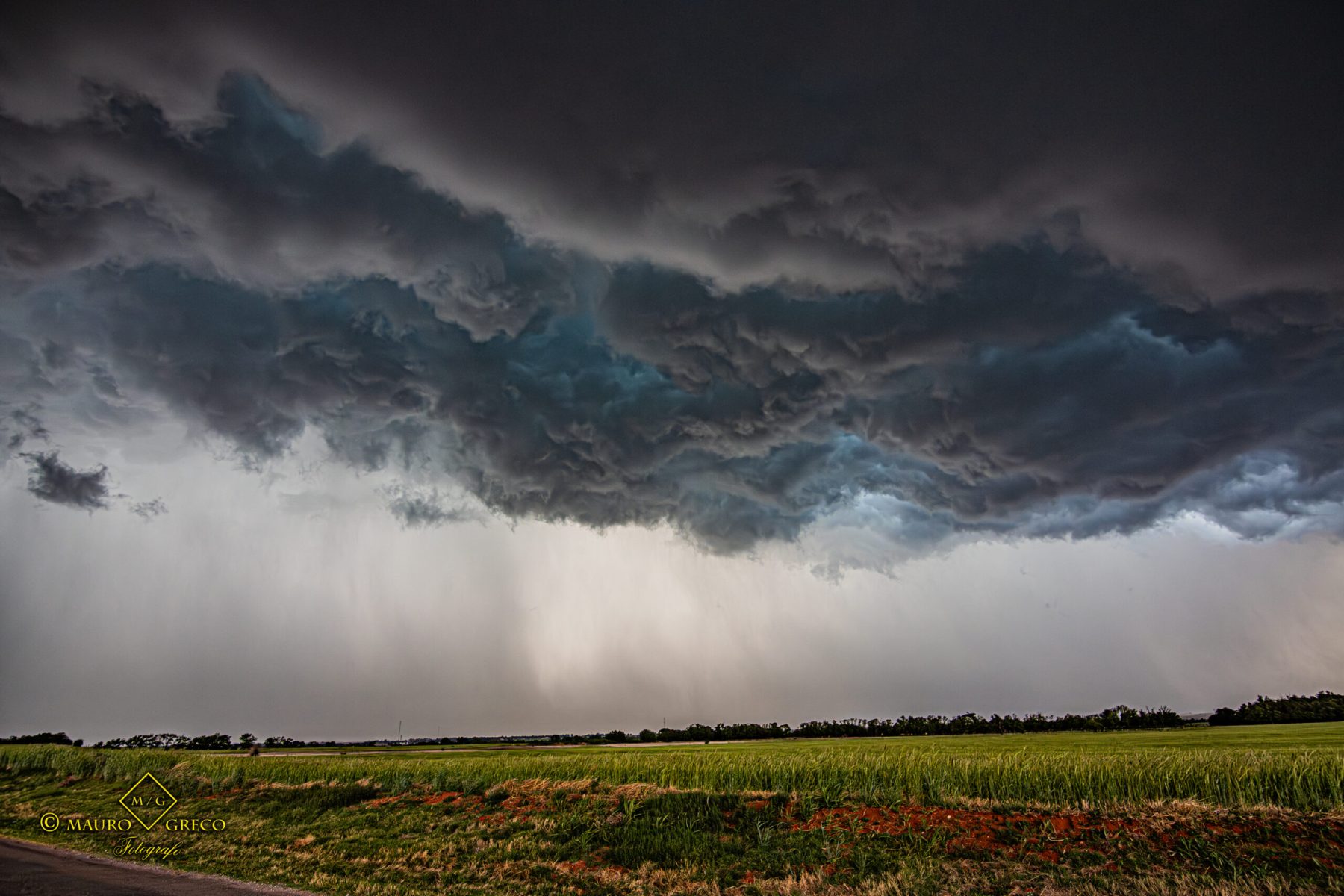
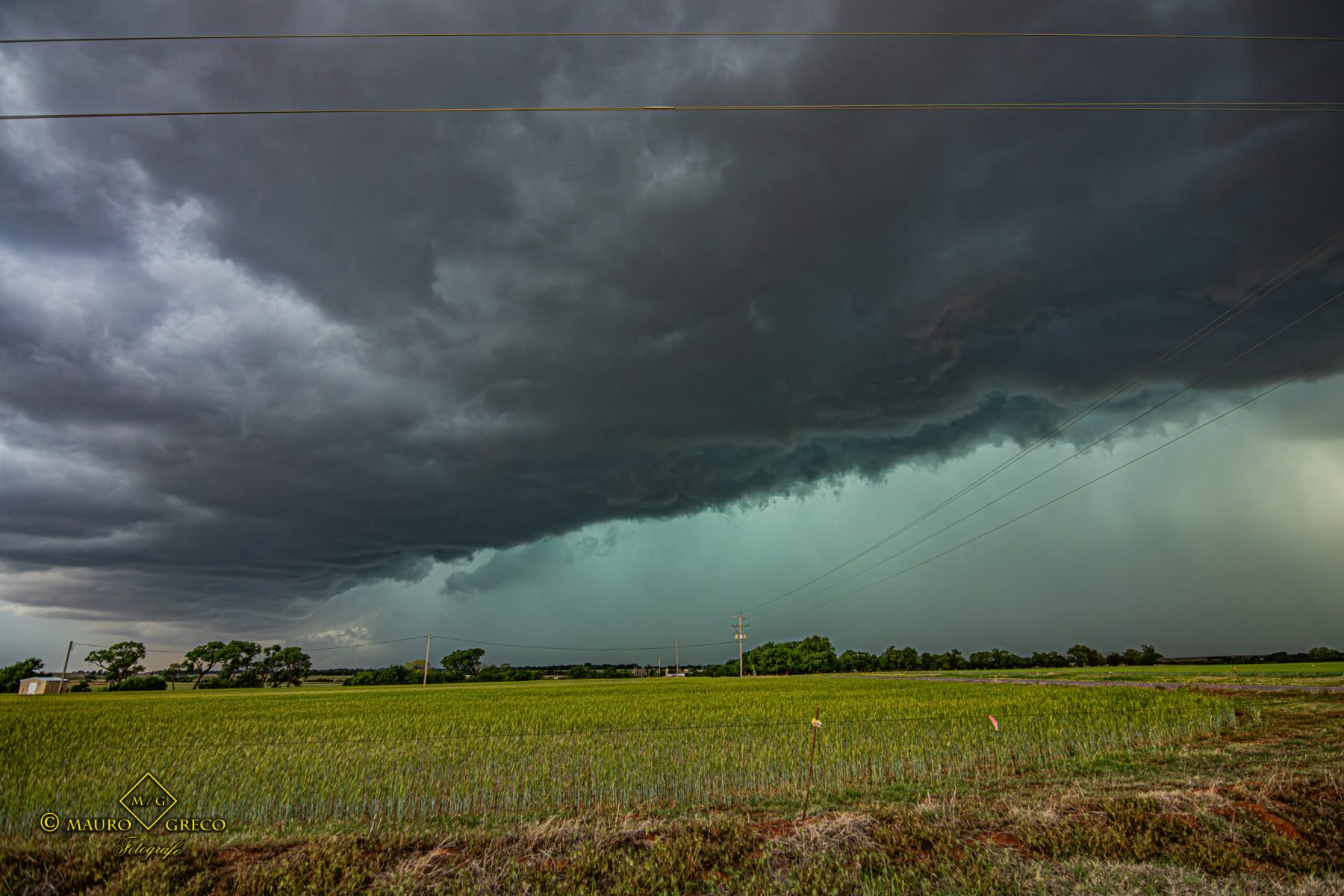
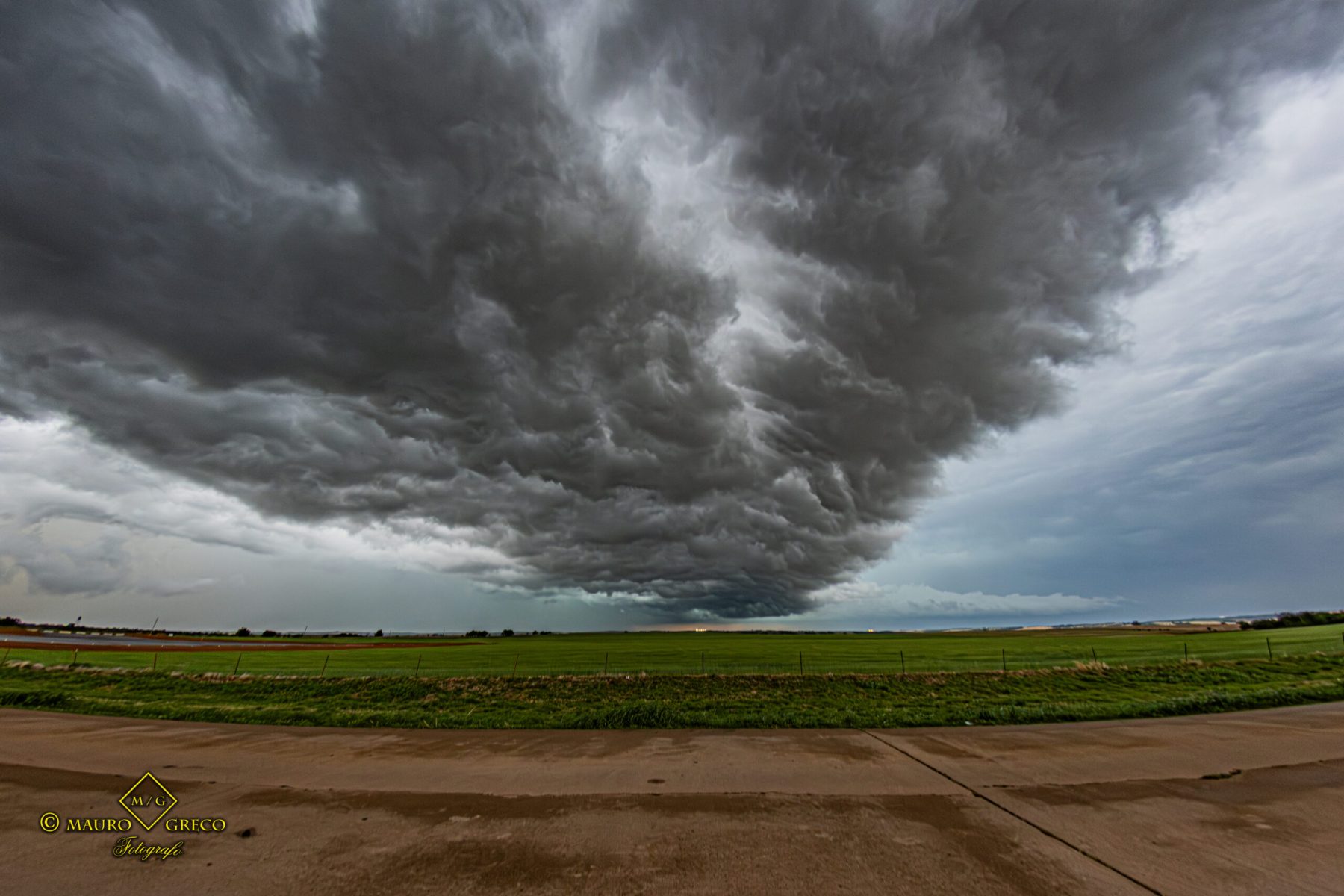
Ominous Skies and Severe Weather Over Maryville, Missouri
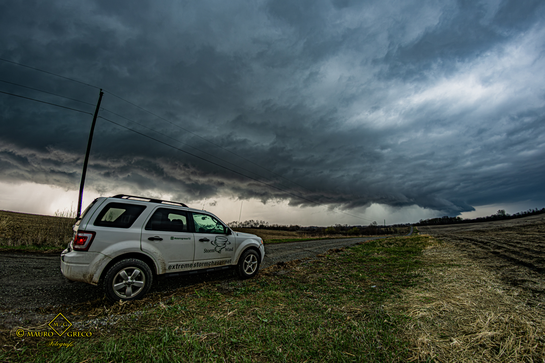
April 3 2026 – The severe weather outbreak on April 3 led us to the rural dirt roads of Maryville, Missouri. Watch the video and check out the photos of this dark, moody supercell looming over the landscape as we tracked the storm’s intense core.
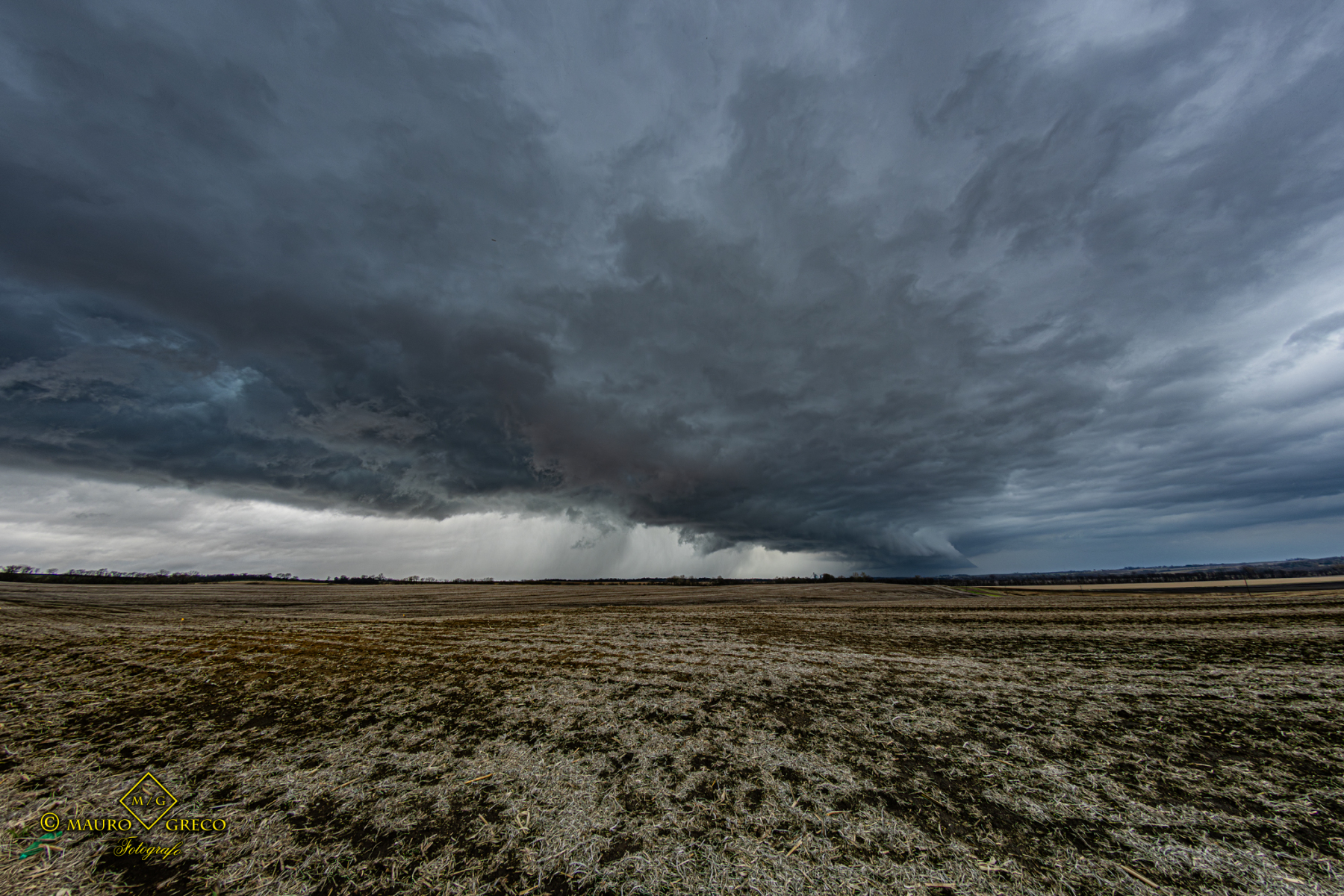
Severe Thunderstorm and Supercell Structure near Watonga, Oklahoma
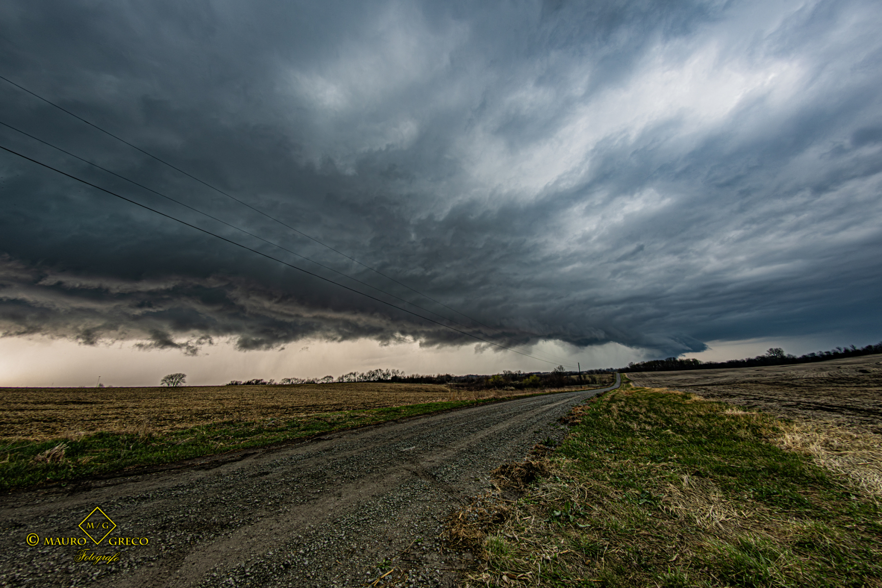
April 1 2026 – Kickstarting the April 2026 storm chasing season, this intercept near Watonga featured dramatic, low-hanging storm clouds. Browse the gallery below to see the incredible convective structure and ominous skies we encountered on the Great Plains